Tools for climate and agriculture
-
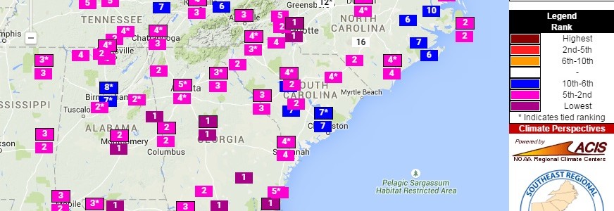
Much colder than normal minimum temperatures were felt across most of the Southeast on the morning of September 14. This map from the Southeast Regional Climate Center’s Perspectives tool shows the ranking of reporting stations across the area. Several stations reported their all-time lowest temperature for the date, including Macon GA, Charlotte NC, and Jacksonville…
-

A number of people have remarked to me here in Athens that this summer has been very nice. Temperatures have not been too hot and we have had some rain, although there have also been dry spells. The thermograph for Athens shows the daily variation in temperature below. Note that yesterday, August 12, was almost…
-
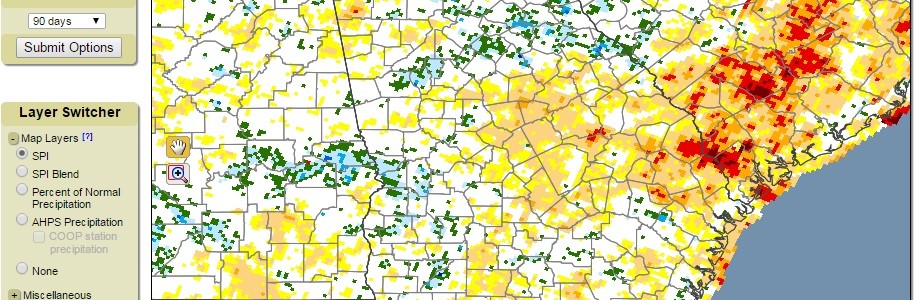
The State Climate Office of North Carolina has a blog on a variety of topics related to climate in the Southeast. Today’s entry describes some research that their students are doing on the measurement of drought. One of the new products under development is a Standardized Precipitation Evapotranspiration Index (SPEI) which will include the impacts…
-

Yesterday parts of Georgia experienced flooding rains. They were very localized and many areas received no rain at all. The NWS daily rainfall estimate from https://water.weather.gov/precip shows the spatial variability of rain across the area. You will note two areas of heavy rainfall in red in north-central Georgia centered on Athens-Clarke County and Morgan County…
-
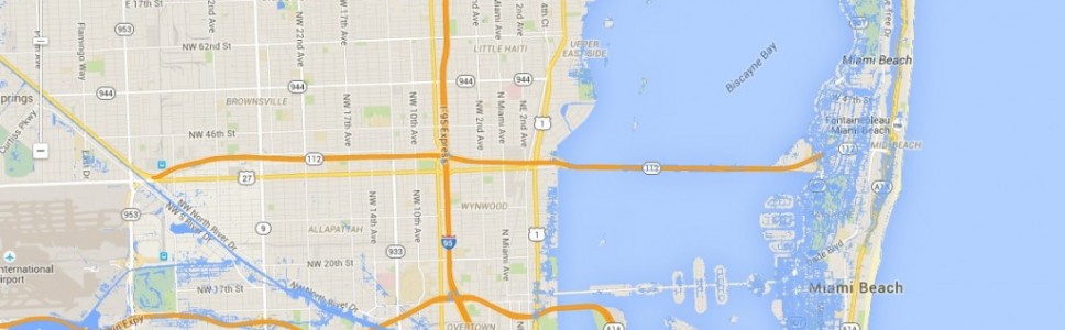
Have you ever been to Miami? It’s one of the most international cities in the US, with a lot of culture as well as technology. I was really struck by a story from The Guardian earlier this month which describes the problems that Miami is undergoing now from rising sea levels, which are linked in…
-

NASA recently released a video describing a new experimental global flood monitoring system based on satellite monitoring of precipitation and soil moisture conditions. The video can be seen on the EarthSky blog posting here. The monitoring system will also predict areas of future flooding based on rainfall upstream from the areas of interest. You can…
-

While farmers can readily adapt to trends in climate by changing varieties or crop management strategies, those who grow trees are more likely to be affected by changing climate since the time span to harvest is so long. EFETEC, the Eastern Forest Environmental Threat Assessment Center, has a new tool which allows land owners and…