Sources of weather and climate data
-

The National Weather Service has recently updated their website for the national precipitation maps, which is based on radar-estimated rainfall. You can find it at https://water.noaa.gov/. It allows the display of stream gauge observations as well as forecasts and also allows you to display daily, monthly, and yearly precipitation amounts. You can turn on county…
-

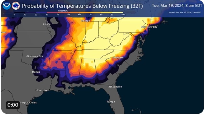
We’ve been watching the long-range forecasts for colder weather for a while now, and it looks like there is a good chance of frost and freezing weather for the next three days, with the coldest weather occurring on the morning of Tuesday, March 19. Freezing weather occurs when the temperature drops below 32 F and…
-

Every March, the Community Collaborative Rain, Hail, and Snow Network (known as CoCoRaHS for short) hosts a competition between states to see which state can recruit the most new observers. In the past, they have called this March Madness, but after concerns about the college basketball tournament not looking kindly on that name, they have…
-

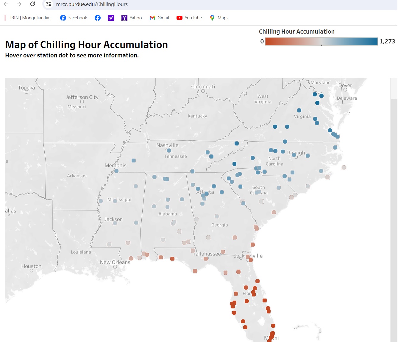
If you are a fruit farmer or someone else who needs to access chill (or chilling) hours for your crops, here is a new resource that may be of use to you. The Midwestern Regional Climate Center has produced some national maps that allow you to get calculated chilling hours for airport stations across the…
-

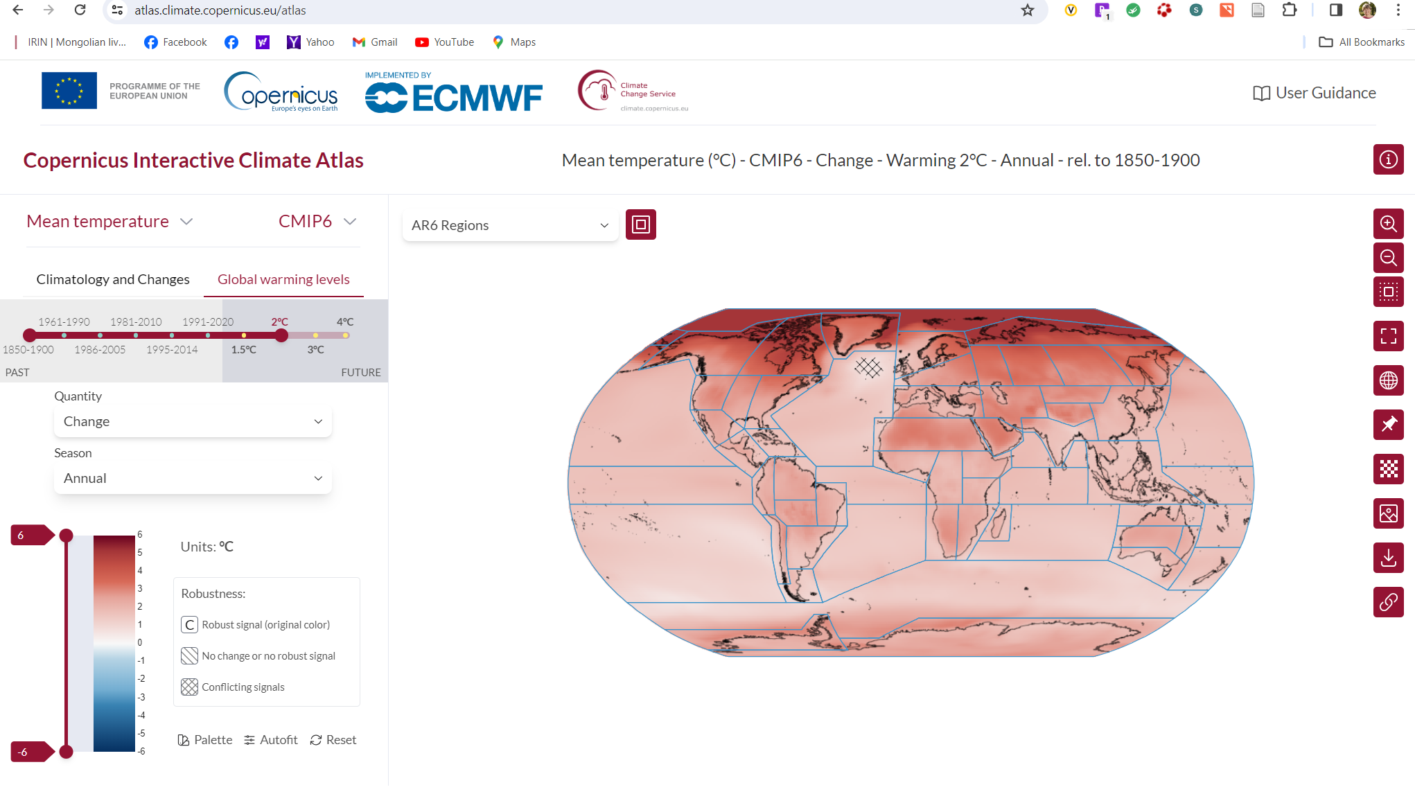
The Copernicus Interactive Climate Atlas, launched by the Copernicus Climate Change Service (C3S*) on 20 February, is set to be an important new resource for policymakers looking to formulate effective climate policy and for other users needing to visualise and analyse climate change information. This new tool from C3S, which builds on the Interactive Atlas of the…
-

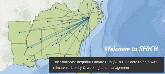
The USDA issued a press release today celebrating the 10-year anniversary of the founding of the USDA Climate Hubs. I have worked with our Southeast Regional Climate Hub in Raleigh for most of that time, and they are a great resource for us in the Southeast. You can read some of my previous blog posts…
-

If you like to play with maps and climate outlooks, you might be interested in this NOAA site from their Physical Sciences lab. It allows you to look at the individual climate anomalies for each EL Nino or La Nina in the period 1991-2020 to see how they varied. It shows both global patterns and…