Tools for climate and agriculture
-
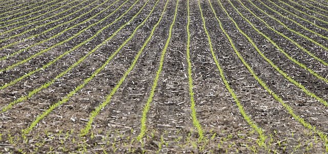
I am posting this here as much for myself as for all of you, but I want to provide you with a quick link to the USDA’s National Agricultural Statistics Service Quick Stats page. It allows you to find data on yields and other ag data for many different crops as a variety of spatial…
-
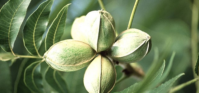
The State Climate Office of North Carolina has made an online tool for predicting thrip infestations for cotton available that producers might find useful. It can also be used on mobile phones. It uses an interactive map to choose the location and allows you to pick a planting date and a choice of models. You…
-
The climate of the future is still uncertain, in no small part due to uncertainties in how humans will behave with respect to emissions of carbon dioxide, changes in land use over time, and big questions about how the ocean will respond to changes in atmospheric composition and weather patterns. But if you like to…
-
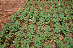
Roger Gates, Extension ANR agent in Whitfield County, wrote me to ask for help in finding soil moisture data because he was struggling to fill out the soil moisture survey for the weekly Crop Progress and Condition Survey. I asked him if it would be OK to share his question and my answer because a…
-

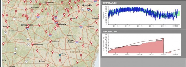
The US Climate Resiliency Toolkit provides information and links to a variety of tools and data sources for a number of different climate-related events. Here are two that I’ve read about recently that you might find useful. The Water Resources Dashboard at https://toolkit.climate.gov/topics/water-resources/water-resources-dashboard provides information on rainfall forecasts, drought and other extremes, water quality and historical…
-
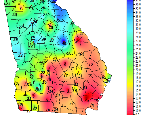
Have you ever heard the term “degree days?” Heating and cooling degree days are derived from temperature data and used to monitor the amount of energy that is needed for heating and cooling. So if you have a winter like this past one, with a much lower number of heating degree days than average, you…
-
The US Climate Resiliency Toolkit online has a good web page describing some of the steps that farmers currently use to assess their weather and climate vulnerability and how they take measures to protect against risks to their operations. It includes a five-step process to become more resilient in the face of unknown changes to…