Tools for climate and agriculture
-
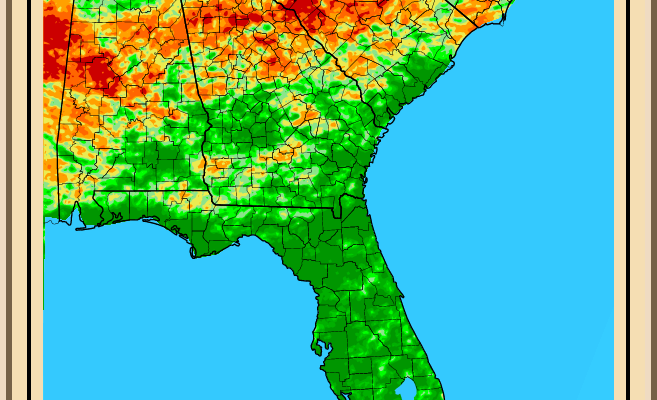
According to a recent New York Times article, a recent study in Geophysical Research Letters has shown that sea levels in parts of the Southeast are rising at six times the global average rise. Scientists have proposed a new mechanism for this oddity: Two large-scale atmospheric patterns had intersected to push up the water off the…
-
As I walked out in the yard today I noticed that my vinca ground cover is losing all of its leaves. Even though it has not been that hot (for early August, anyway), the lack of any appreciable rain has taken its toll on the plants. I usually only see those conditions during a drought.…
-

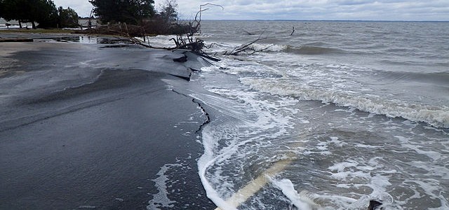
Now that we are entering the peak Atlantic hurricane season, emergency managers and others who have to plan for the impacts of a tropical system need every tool they can get to help assess threats and identify areas of concern before the storm is upon them. NOAA’s Hurricane-Induced Coastal Erosion Hazards tool can help managers…
-

Have you ever seen an insect or plant that you could not identify and wondered what it was? This new (to me, at least) app, allows you to snap a picture and get an immediate suggestion for what the picture is showing. What’s more, it locates the photo by GPS to allow researchers to track…
-

While the Atlantic has been relatively inactive as far as tropical storms go this year (although they are still ahead of normal in named storms), the Pacific Ocean has been hopping. Weather Underground posted a story describing the eight storms that occurred at the same time across the Northern Pacific Ocean at https://www.wunderground.com/news/eight-tropical-cyclones-pacific-july2017. You can…
-

The US Army Corps of Engineers has produced a new tool that will help coastal planners identify the likely sea level rise that they may expect to occur over this century. The tool provides three levels of rise which show the range of possible values that coastal managers will have to deal with. You can…
-
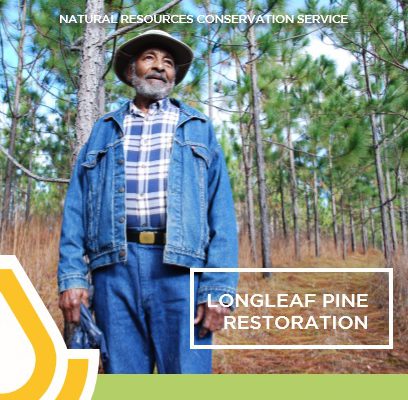
The National Resources Conservation Service has released a new implementation strategy for longleaf pine restoration that has some useful resources for foresters. It describes the importance of longleaf pine communities in keeping ecosystem diversity and discusses plans for how to maintain and improve longleaf pine forests. You can read more about it at https://www.americaslongleaf.org/ with…