Interesting weather images
-

Two cyclones (or hurricanes, as they are known in the Atlantic) in the western Pacific Ocean may be combining forces to enhance the development of a budding El Nino. The circulation around Bavi in the Northern Hemisphere is counterclockwise, while the circulation around Pam in the Southern Hemisphere is clockwise, leading to enhanced winds from…
-

Climate Central has a new tool available to show how your city’s climate this past winter compares to all the other winters on record for that station. You can find the tool on the Weather Channel website by clicking here. Below I’ve compared Miami FL to Charlotte NC to show the differences between the northern…
-

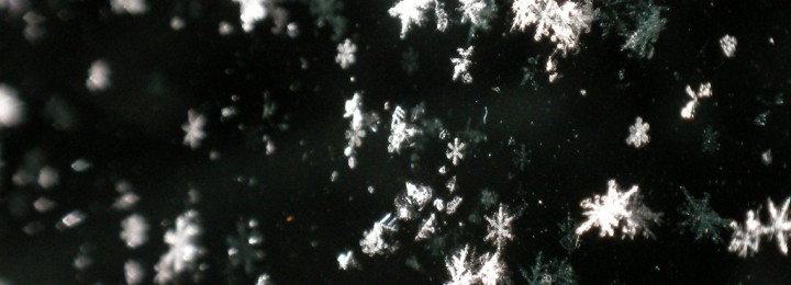
As I was driving in to work this morning, I noticed a few snowflakes drifting through the air. Some of you in Atlanta and north Georgia may have seen a few more. When I got to work, I found this video on falling snow taken from a high-speed camera in my inbox from EarthSky. The…
-

The Southeast continues to lie under a mass of frigid air that came over the pole from Siberia, as I discussed in my post yesterday. This morning many record low temperatures were set, including a new record low for Key West, FL of 50 degrees. Fortunately, the winds were a bit lighter today so it…
-

After some nice warm and sunny days, a blast of winter air will be returning to the Southeast by Thursday and will last for several days. The wind map below shows the push of frigid air into the region from Canada. You can see it in action at https://hint.fm/wind/ or the full global version at https://earth.nullschool.net/.…
-

Recently NASA released a mesmerizing video of the movement of aerosols around the globe. You can watch the video and read a brief description here at onEarth.org. Aerosols can occur naturally (sea salt particles, pollen) but many are caused by burning of forests or output from manufacturing. On the video you can see how aerosols move…
-

The strong storm that has affected the northeastern US this week has caused minimal problems for most dairy farmers in that region. Forecasts of the storm ahead of time allowed milk producers and haulers to reroute their trucks around the areas with the worst hazards, and the few dairies that experienced power problems had generators…