-

Because of the changes in the federal government these days, the website Climate.gov has been shut down and if you go to that web address you will get redirected to NOAA.gov. While that site says they will carry monthly climate summaries and other climate-related posts, a lot of what made Climate.gov so helpful was discussions…
Posted in: Climate and Ag in the news -

The lack of rain over the last week has led to a big increase in the area with abnormally dry (D0) conditions in the region, especially in Virginia and North Carolina. There was some expansion in Tennessee, Alabama, and Georgia as well. There was also some small improvements in drought conditions in southern Alabama and…
Posted in: Drought -

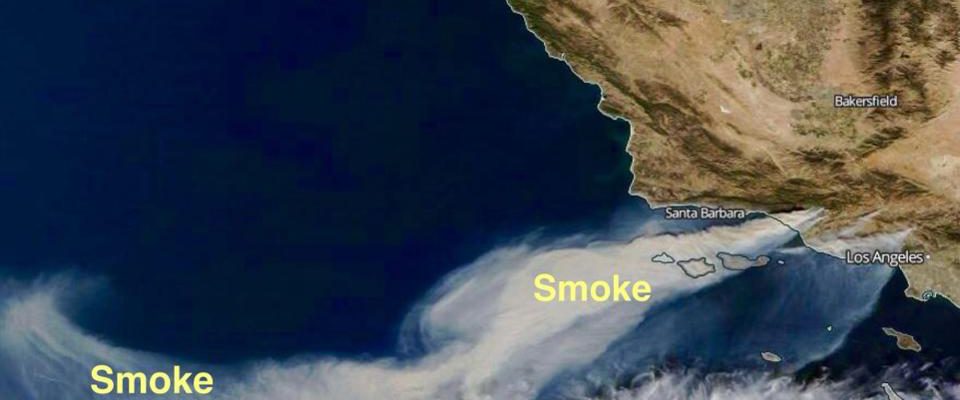
While we have not had much wildfire here in the Southeast this year due to all the rain we have had, fires are common out west, and smoke from those fires has the potential to change the flavor of wines that are produced out there because of smoke settling onto the wine grapes. If you…
-

Monday, September 1, marks the beginning of climatological fall, which includes the time period from September 1 through November 30. You might know the astronomical fall season starts later in September when the equinox occurs, but climatologists use the calendar months because they most closely represent the midpoints between the warmest three months and the…
-

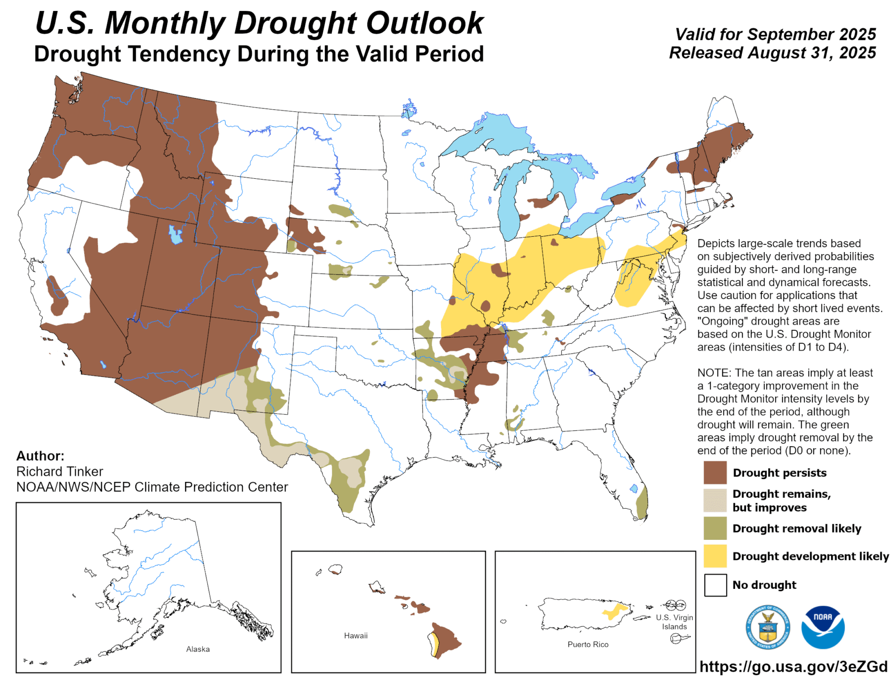
The latest monthly climate outlook for September 2025 was released today. It shows that the forecast for precipitation indicates a continued chance of wetter than normal conditions in Florida, which could lead to an end to the drought conditions that are currently there. There is no signal for what the temperatures will be over the…
-

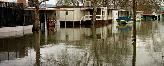
Although we are currently in a quiet period as far as severe weather goes, the chance that a weather disaster will occur in the future are very high. The New York Times produced a quiz that tests your ability to make the best decisions to keep yourself and your family safe. Take it and see…
Posted in: Climate and Ag in the news -

The latest Drought Monitor map shows that there were slight improvements in several states in abnormally dry conditions (D0) and drought over the last week. There was also a small degradation of dry conditions along Florida’s East Coast. Due to the rain in South Florida this week, we can expect to see some further improvements…
Posted in: Drought