Pam Knox
-

Even though we still have a few weeks to go, we are now entering the home stretch for the year in climate. Here are some images which capture what we expect for the 2015 summary, barring any last minute extremes in weather. The maps below show the year to date temperature and precipitation departures for…
Posted in: Climate summaries -
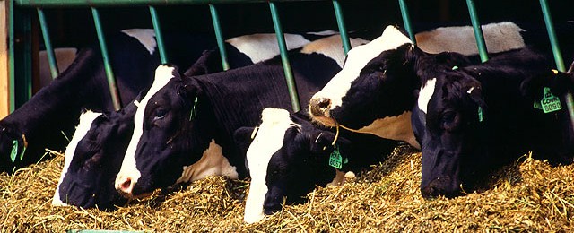
This week’s Considering Climate blog from the Animal Agriculture in a Changing Climate group that helps fund On the CASE discusses the perspectives of a dairy farmer (1700 cows) in New York on management strategies for his farm. While he does not know how much climate change is affecting his farm, he does know that good…
-
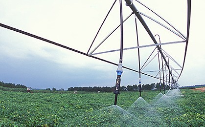
The Southeast Farm Press published a story earlier this week describing the steps that some Georgia farmers are taking to prepare for a future with more demands on water. Competition will come from increased demands from suburban and urban users. Climate models are not able to determine whether rainfall is likely to decrease or increase…
Posted in: Climate and Ag in the news -

Here’s an interesting story from Alaska Dispatch News on observing the weather from the United States’ most remote weather station, St. Paul, 300 miles off the west coast of mainland Alaska. It describes the difficulty of launching their twice-daily weather balloons in high winds and how important those observations are for making national weather forecasts.…
Posted in: Climate and Ag in the news -

National Geographic is known for their fabulous photographs of scenery, people and infrastructure. In the past week I’ve run across a couple of interesting slide shows from NG that describe the importance of soil on life and how remote sensing by cameras and other instruments can highlight natural and man-made changes in the environment over…
-
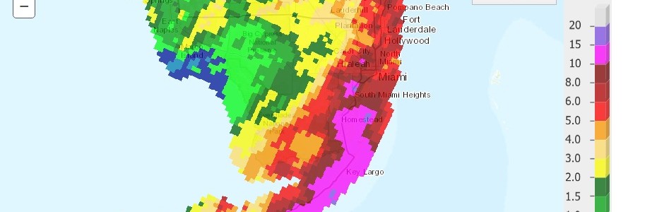
The Southeast Regional Climate Center pointed out on Facebook today that Miami has had its wettest start to December on record. So far this month they have received 8.57 inches of rain. The old record was 4.38 inches set in 1964, followed by 2.70 inches set in 1979. You can produce the complete list at https://www.sercc.com/perspectives?station=MIAthr. One…
Posted in: Climate and Ag in the news -

Sometime later this week NOAA should publish the statistics on fall climate for the US. The maps below show the temperature and precipitation departures for the Southeast from the High Plains Regional Climate Center. While temperatures were a bit above normal almost everywhere in the Southeast, the real story is the very wet conditions across…