September 2021
-
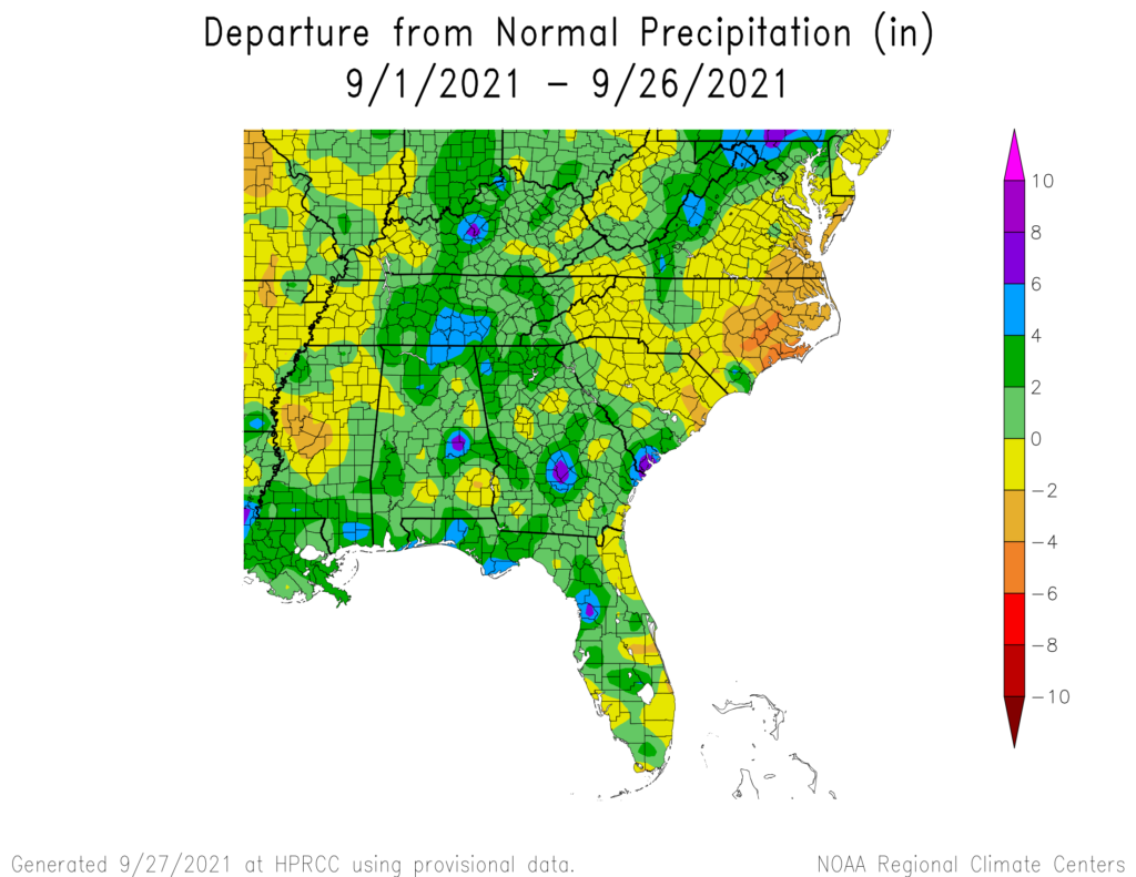
With just a few days to go in the end of the month, the maps show that most of the region has received more rain than normal. The wet areas are also cooler than normal, most likely due to the cloud cover and difficulty heating all that water. This last week of dry conditions will…
Posted in: Climate outlooks -

The latest 5-day Atlantic forecast notes two new areas of likely development over the next five days. These two waves are at lower latitudes than Hurricane Sam, which means they are more likely to reach the Southeast than other waves that develop at higher latitudes. But there is a long way to cross over the…
-
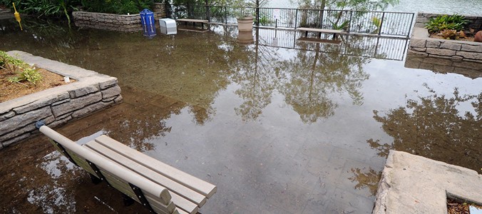
When you think about coastal flooding, you probably don’t realize that in many South Florida neighborhoods far from the sea, drainage is a problem that can be made worse by flooding near the ocean. The drainage gates are controlled by the water districts, and they have to balance flows in all directions. Sometimes that means…
-
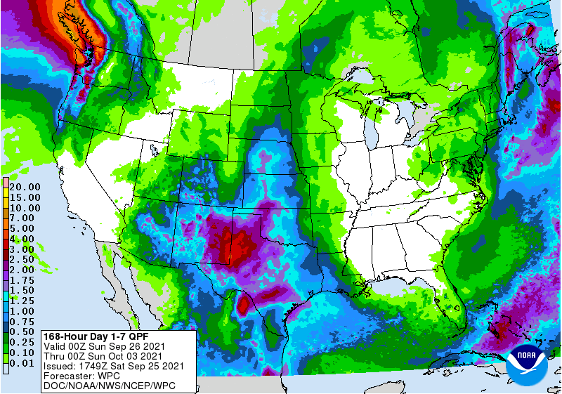
The latest 7-day QPF map shows most of the region is not expeted to receive any rain, and the areas along the East Coast and in Florida that might receive a little are not expected to get much. Great news for those who want to get field work or harvesting done! The forecasts for the…
Posted in: Climate outlooks -
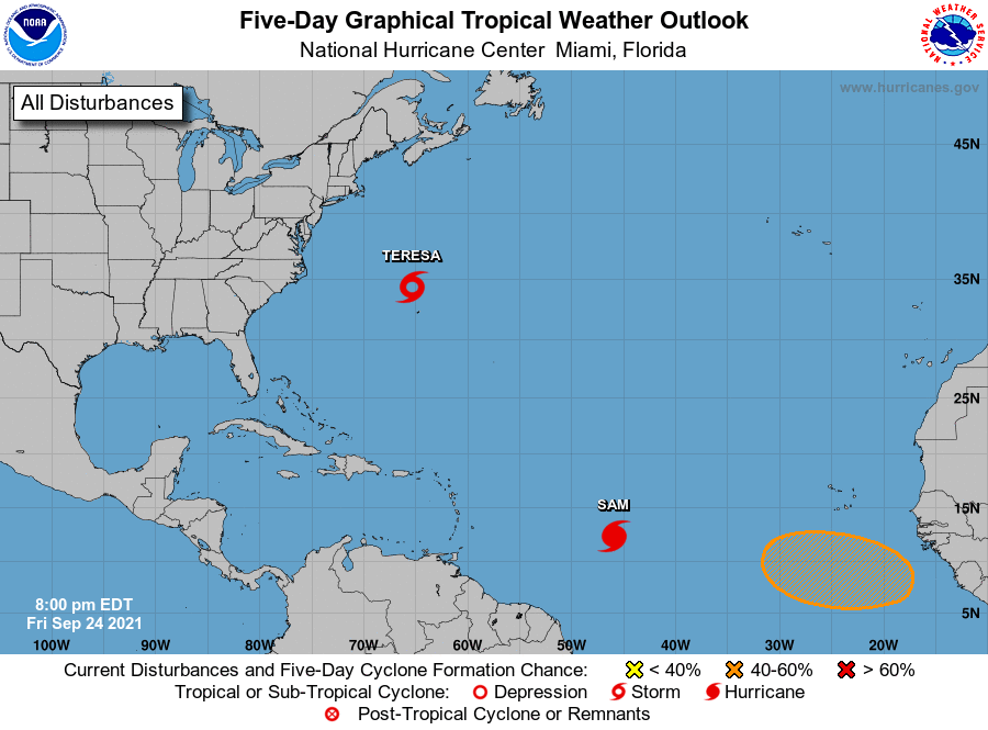
Today Subtropical Storm Teresa formed in the Atlantic. It is a weak storm with some tropical characteristics and is not expected to be around for long.It won’t affect the US at all. Meanwhile, Hurricane Sam is intensifying and is expected to become a major hurricane on Saturday. Fortunately, the current models mostly hold Sam out…
Posted in: Tropical weather -

Most of you know that El Nino and La Nina, collectively called the El Nino Southern Oscillation or ENSO, are arguably the biggest drivers of climate variability in the Southeast. So climate scientists are very interested in how ENSO might change as the climate gets warmer. Here is a recent blog post from Climate.gov that…
-
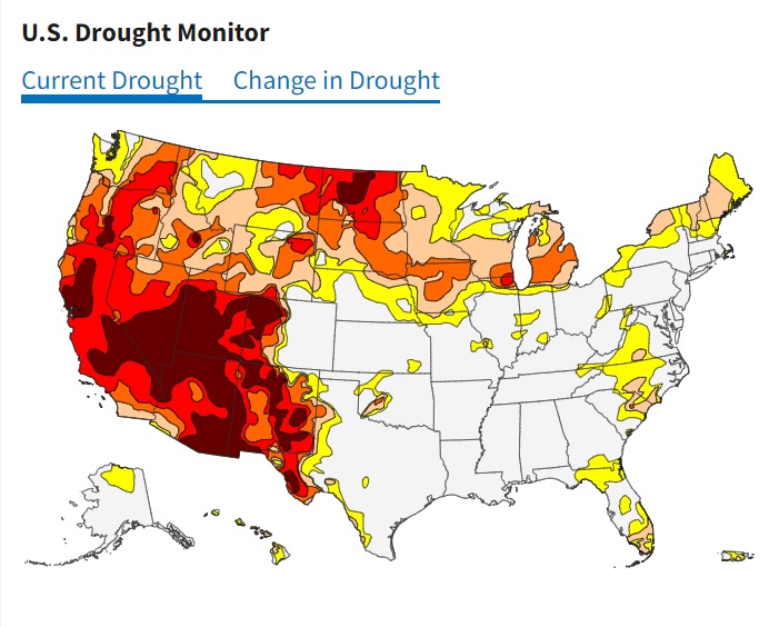
The North Carolina State Climate Office has posted a new blog that describes how drought is defined, how the Drought Monitor determines its level, and the problems that it has capturing agricultural drought. They also describe a project looking at how drought is communicated and what they learned about improving communication. You can read it…