-
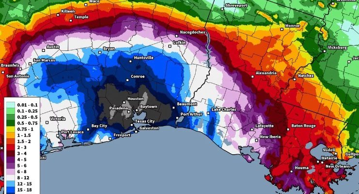
With eyes watching TD 19 today as it moves slowly WNW into the Gulf and towards the northern shore, you should be aware that slow-moving hurricanes can often cause more damage than fast-moving storms. That is because the strong winds and heavy rains can last over an area for any hours, pounding the buildings with…
-

Tropical Depression 19 is crossing over the southern tip of Florida this morning and is expected to continue in a WNW direction out into the Gulf of Mexico for the next several days. It should eventually become a tropical storm, most likely named Sally, and is currently expected to make landfall somewhere between Pensacola FL…
-

Add another tropical depression to the long list of storms in the Atlantic this year. TD 19 is expected to move across southern Florida in the next 24 hours and then move NW across the Gulf while strengthening to a tropical storm (most likely named Sally) before making landfall as a minimal TS mid-week somewhere…
-

If you are squeamish, you might want to pass on this story. One of the impacts of Hurricane Laura that is causing significant problems for livestock producers is the huge infestation of mosquitoes that has bred in the hot, moist conditions left in Louisiana after the passage of Hurricane Laura. Apparently the swarms of mosquitoes…
-

Today’s Drought Monitor shows that even though there is no drought in the Southeast, some scattered pockets of abnormally dry (D0) conditions have appeared. They are in Alabama, Georgia and the Carolinas. The next week should be fairly rainy, so they might not last long, but we will see.
Posted in: Drought -
As expected, NOAA’s Climate Prediction Center has issued a La Nina Advisory this week to note that a La Nina has officially been observed to occur. You can find their text advisory at https://www.cpc.ncep.noaa.gov/products/analysis_monitoring/enso_advisory/ensodisc.pdf. There is a 75 percent chance that it will continue through Northern Hemisphere winter. In the Southeast, a La Nina is…