Tools for climate and agriculture
-
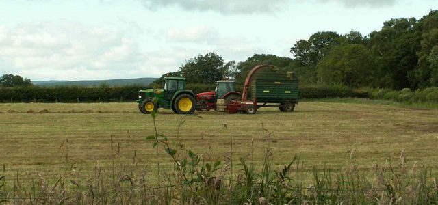
The National Farmers Union posted an interesting story last week about a new set of tools that can help farmers plan for changes in climate. The set of tools developed by Oregon State University include “AgBiz Logic, a tool to help farmers anticipate environmental impacts in the business decision making processes, down to the farm level.…
-
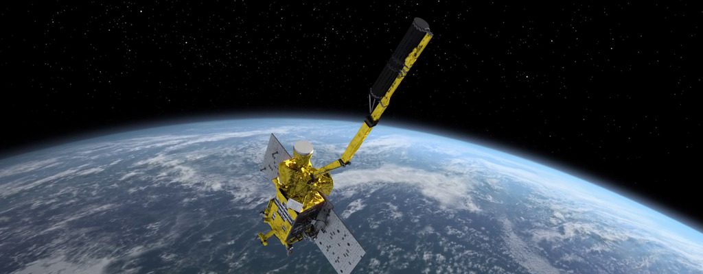
Modern Farmer posted an interesting story this week about the new NASA SMAP satellite, which collects global soil moisture data to help farmers understand the patterns of wet and dry conditions around the world that are affecting crops and water resources. The data will be made available in the USDA’s Crop Explorer Tool, which you…
-
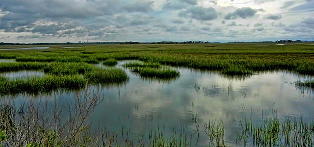
The University of Georgia has published a toolkit for coastal communities to assess their public service outreach abilities in times of flooding. This 71-page step by step guide will allow towns and cities along the coast determine their vulnerabilities to coastal flooding from hurricanes and rising sea level and determine what methods of outreach are…
-
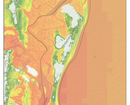
The National Park Service has issued a number of new maps showing the impacts of storm surge on NPS sites such as Biscayne Bay FL, Assateague Island VA, and Fort Sumter SC. As you can imagine, there are quite a few sites for the Southeast since we have such a long coastline. For more information,…
-
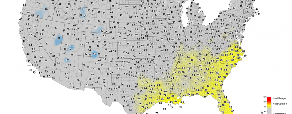
Drovers Newsletter has a timely article this week on cattle heat stress and when it is too hot to work cattle, and especially calves, which are more susceptible to stress than full-grown animals. You can find it here along with links to sources of cattle heat stress maps (or go directly to the Cattle Comfort…
-

If you are ever asked about how climate is changing in the Southeast (and it is, although it is more subtle than some other parts of the US), then here is an excellent web site which provides links to several different resources. You can visit it at https://www.globalchange.gov/explore/southeast-caribbean. I do see that the current events…
-

In the past week I’ve run across several sources of maps related to various aspects of climate that you might find useful. NOAA Global Vegetation Health Maps show the conditions of vegetation around the world on zoomable maps. Data are based on satellite scans from space. https://www.climate.gov/maps-data/dataset/global-vegetation-health-images for information or go directly to the map browser at https://www.star.nesdis.noaa.gov/smcd/emb/vci/VH/vh_browseVH.php.…