Tools for climate and agriculture
-
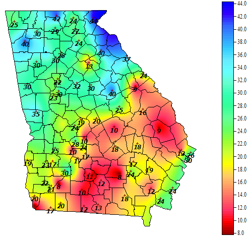
Vegetable and Specialty Crop News posted a story from UGA about the benefits of monitoring soil moisture by preventing overwatering by irrigation. Soil moisture sensors can be fairly inexpensive and can help prevent overirrigation, which can improve input costs. We also have soil moisture available at the UGA Weather Network stations around Georgia. You can…
-

Occasionally I get asked about where to find calculators to determine climate footprints by teachers or farmers. Here are a few sites that can help provide estimates of your climate footprint. Note that these would not be sufficient for a producer who is trying to show a detailed evaluation, but they can serve as a…
Posted in: Tools for climate and agriculture -
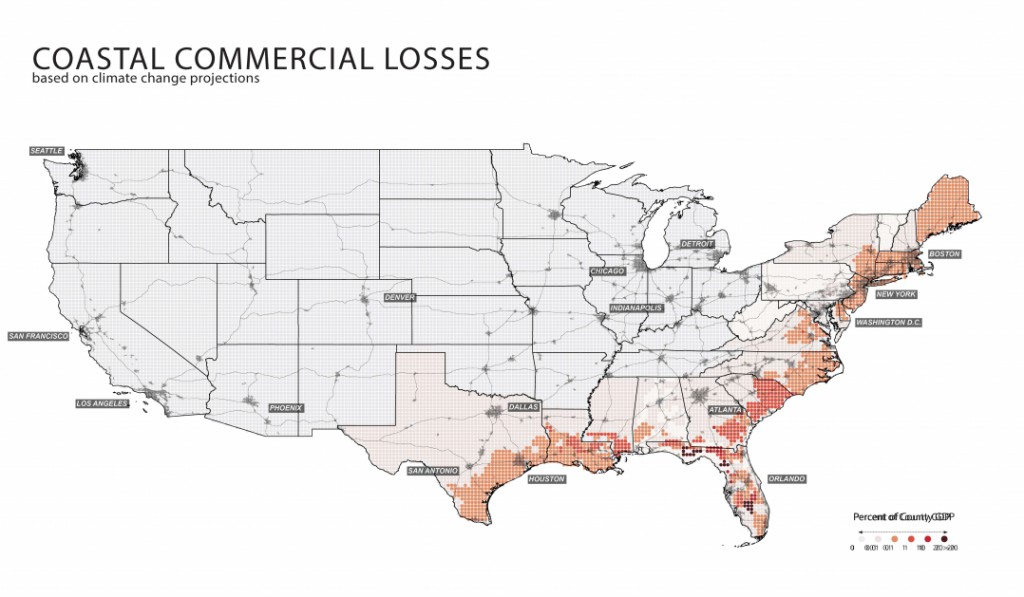
Here is a new atlas that describes a lot of factors related to agriculture, land use, and population density, among other factors, across the United States. While it was developed for use in the “Green New Deal”, even if you don’t think that is a feasible plan for dealing with changing climate, you will still…
-
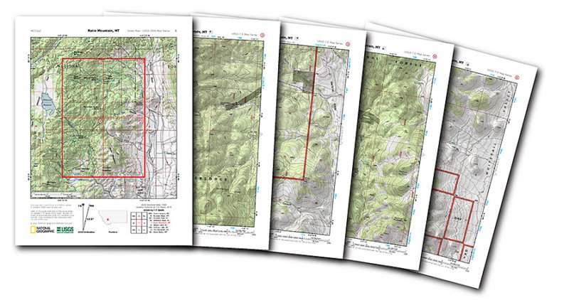
While topographic maps are not strictly weather or climate, they are a unique way of describing the physical environment. And they are just cool to look at! So I was happy to read this article about National Geographic’s new web site which allows you to print detailed topographic maps for free. If you like to…
Posted in: Tools for climate and agriculture -
There is an updated web site for the Drought Risk Atlas from the University of Nebraska-Lincoln which includes links to climate and hydrology data and a map viewer on all things related to drought. You can visit it at https://droughtatlas.unl.edu/.
-
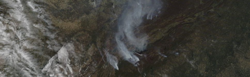
Morning Ag Clips posted a story last week on a new web site developed by the Georgia Forestry Commission to track the location of current wildfires across the state. The site details where each fire is occurring, how big it is, and what the status of the fire is. You can find the link to…
-

Here is a useful site for farmers concerned with the impacts of harmful weather on their crops. USDA has a page which collects information on programs to help farmers recover from drought, hurricanes and other severe weather at https://www.farmers.gov/. If you are a farmer or work with them, this might have some links worth checking…