Sources of weather and climate data
-
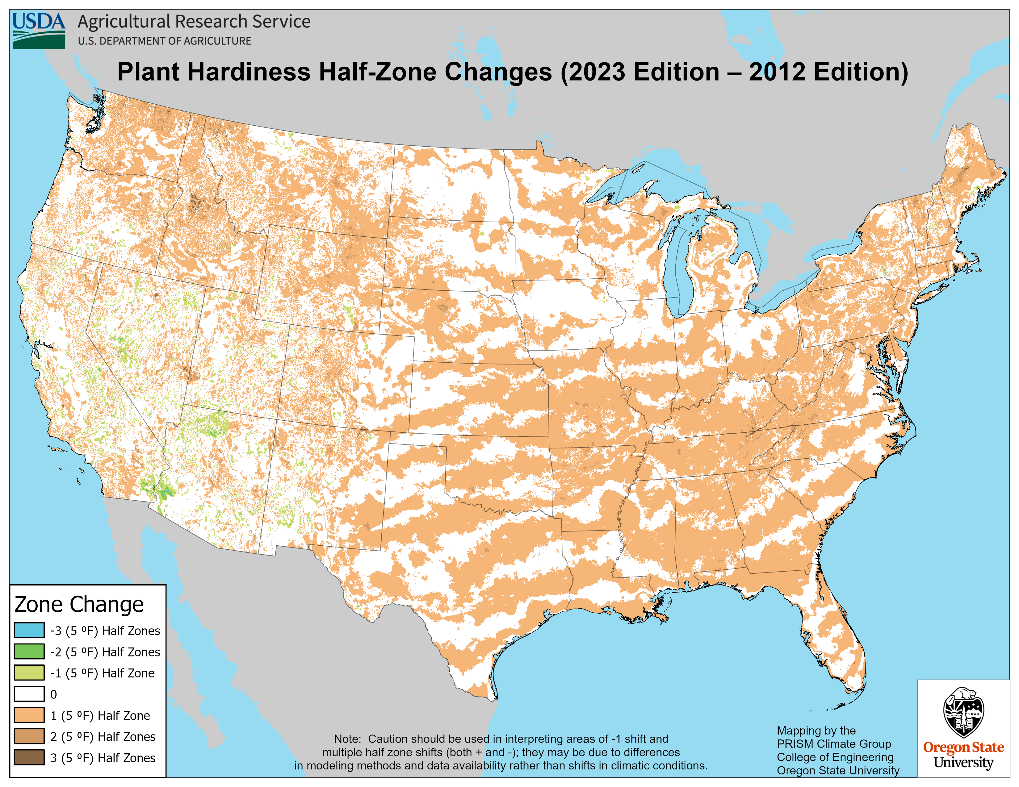
The USDA published a new Plant Hardiness Zone map about a week ago. The previous map was produced in 2012 and since that time gardeners have used it to determine what plants are suitable for their yards. The Plant Hardiness Zone map is based on the average lowest temperature a location receives sometime each winter.…
-
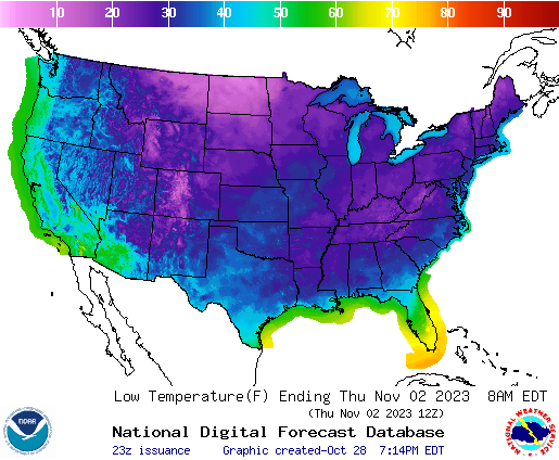
This week we are expecting a big change in the prevailing weather pattern as a strong cold front moves through the region from northwest to southeast on Tuesday and Wednesday. The front will not have a lot of precipitation with it but will bring sharply colder and drier air to a lot of the region…
-

If you ever get asked about what kinds of disasters have hit your county or community, you should check out the new Atlas of Disaster put together by Rebuild by Design and available here as a PDF file. They also have PDFs of individual staetes, such as this one for Georgia at GEORGIA.pdf (rebuildbydesign.org). You…
-

I’ve seen some spectacular photos of autumn color this year in northern parts of the United States as well as in higher elevations in the Southern Appalachians. If you are interested in going on a leaf-peeping trip, here are some sources of information about where the color is at peak. If you go, drive carefully…
-
If you are a CoCoRaHS precipitation observer, you may be interested in this new website that allows you to check out the climatology of your station at https://dex.cocorahs.org/?skip=0&take=50. If you don’t know what CoCoRaHS is, check out their website at https://cocorahs.org/ and consider joining a great citizen science project measuring precipitation across the nations of…
-

If you like to look at interesting visualizations of data, you may be interested in this new visualization of streamflow drought across the United States from USGS streamflow data. It uses bar graphs to show how long and how severe a drought got at particular streamflow gauges and how many gauges were affected by the…
-

Climate.gov has an interesting new story map tool that allows you to look at the most extreme high temperatures at thousands of US weather stations across the country. It is interesting to see how the extreme highs vary across the country. In the Southeast, the hottest temperatures are not in Florida, where ocean temperatures may…
Posted in: Sources of weather and climate data