Climate outlooks
-

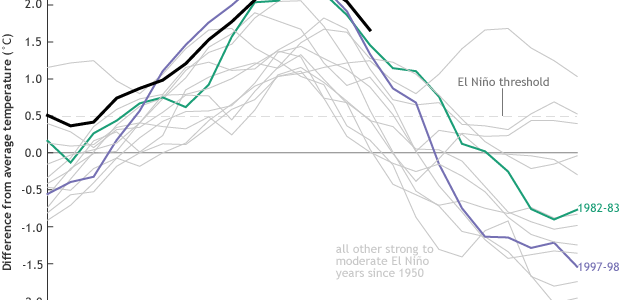
NOAA’s latest El Niño blog post indicates that not only are we still in a strong El Niño but that they have also issued a La Niña watch for the next few months. I’ve been talking about the possibility of swinging from one extreme to the other in the past few months, and now it…
-

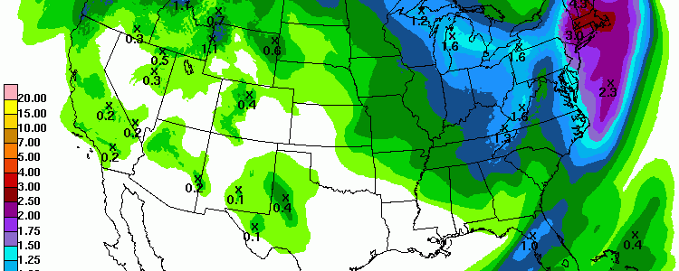
The 7 day QPF map shows that the driest part of the Southeast in the coming week will be the peninsula of Florida, with the driest area farthest south. Light to moderate amounts of rain are expected elsewhere except in Alabama as the next storm system approaches by the end of next week.
Posted in: Climate outlooks -

Another outbreak of chilly air is moving into the Southeast this weekend, and it could bring temperatures near or below freezing to northern and higher elevation areas of Georgia and North and South Carolina on Saturday and Sunday mornings. The National Weather Service has issued frost and freeze warnings for Thursday night into Friday morning for…
-

El Niño has been the dominating atmospheric pattern driving the weather and climate in the Southeast for the past few months. Normally, El Niño brings wetter conditions to the region, with cooler conditions caused by the persistent cloudiness. This year has not been a perfect example, since although some areas of the Southeast saw well-above…
-

After the cold front completes its move across the Florida peninsula and eastern North Carolina today, the rest of the week should be mostly dry for the Southeast. Some chance of light showers does reappear by mid-week but total amounts are expected to be light. This after a week with some areas, including Macon GA,…
-

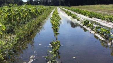
David Zierden, the Florida State Climatologist, is featured in a long article published by the Southeast Farm Press on the current climate in South Carolina and the Southeast as well as the outlook for the growing season in the Southeast. You can read it at https://southeastfarmpress.com/soybeans/el-ni-o-no-stop-rain-south-carolina-until-april-not-all-bad. The highlights include the continuing wet conditions from El…
-

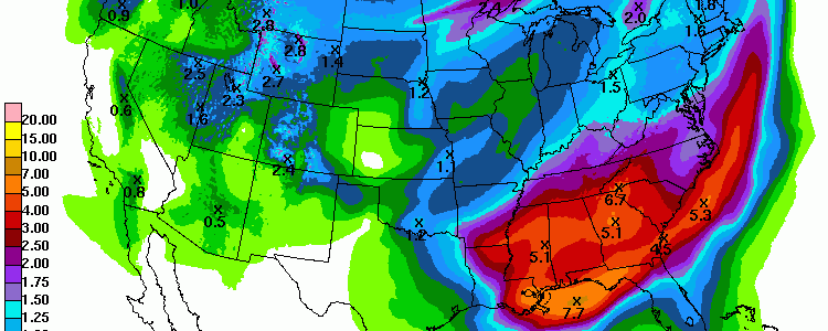
The 7-day QPF map shows that much of the Southeast will receive several inches of rain in the next week, making it much above normal in precipitation. The exception is the Florida peninsula, which should remain fairly dry. The cause is a very slow-moving front which is draped across northern Florida now and which will…
Posted in: Climate outlooks