Pam Knox
-

In the past few weeks climate scientists have been watching with concern the persistent “blob” of colder than normal water that is located in the North Atlantic Ocean. This area of the ocean is well sampled by buoys, ships and satellites so there is a high degree of confidence that this area is indeed experiencing…
-

I rely on reports from extension agents around the Southeast to help me understand how climate is impacting agricultural conditions “on the ground”. One of the blogs that I find most useful is the Seminole Crop E News by Rome Ethredge down in the southwest part of Georgia. Rome is approaching retirement, and Allison Floyd…
-
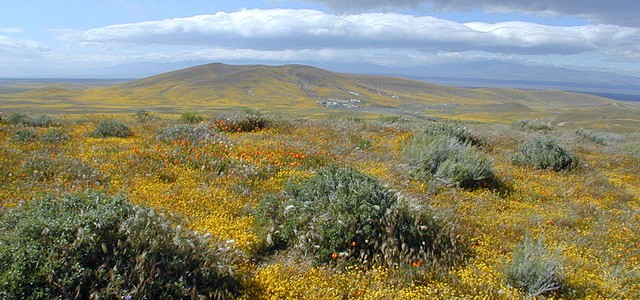
Another interesting story I read today in Yahoo Finance discussed the problems that California brewers are having in producing their beer while holding to the stringent drought water restrictions that are in effect. The 25% reduction in water use is making it difficult for brewers there to keep their brewing and bottling lines open. Some…
-
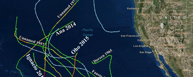
Dr. Jeff Masters of Weather Underground had an interesting blog entry about hurricanes that reach northern locations. He pointed out that the storm that used to be Hurricane Oho in the Central Pacific was now headed for the Alaskan Panhandle, where it was expected to cause strong wind gusts and heavy surf along the Aleutian…
-

If you are interested in Florida’s climate or have kids that are interested in studying about it, you might like this lesson from WeatherSTEM on Florida’s climate. Some of the information is specific to Florida, but a lot of it is applicable to the rest of the Southeast as well. You can view it at…
Posted in: Climate science -
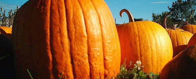
If you like to eat pumpkin pie, pumpkin muffins, or other goodies that require canned pumpkin, you might want to stock up early this year. Unusually wet conditions have caused a significant decline in the production of pumpkins in Illinois, which produces 90% of the canned pumpkin in the US. Prices are already starting to…
-

I want to recognize Mr. Willis Swint of Jonesboro GA this week for receiving the Thomas Jefferson Award from NOAA for his 56 years of service as a National Weather Service cooperative observer. In all of those years, Mr. Swint has never missed an observation. That is 20,440 consecutive days of measuring temperature and precipitation! …