June 2018
-
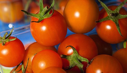
Tomatoes might not be the first crop you think of when you consider Iceland, way up north near the Arctic Circle in the Atlantic Ocean. But one family has made a good living growing these delicious food items by harnessing the power of geothermal energy to heat their greenhouses, producing nearly a ton of fruit…
-

While wheat is not a major crop in the Southeast as it is in some other parts of the country, it is susceptible to hail damage here too, although the hail storms are not as frequent as in the wheat belt of the Plains. This is an interesting story about what happens to a field…
-

The Southeast Farm Press posted a story today describing some of the issues that North Carolina cotton farmers have been seeing with all of the rain that has occurred in the last month. They also provide some tips for what needs to be done at different stages of crop development. You can read the article…
-

Today’s ENSO forecast from NOAA shows that we now have a 50% chance of an El Niño by late summer or early fall and a 65% chance of an El Niño next winter, so they have instituted an El Niño Watch. A watch means that while we are still in neutral conditions, the ocean temperatures…
-
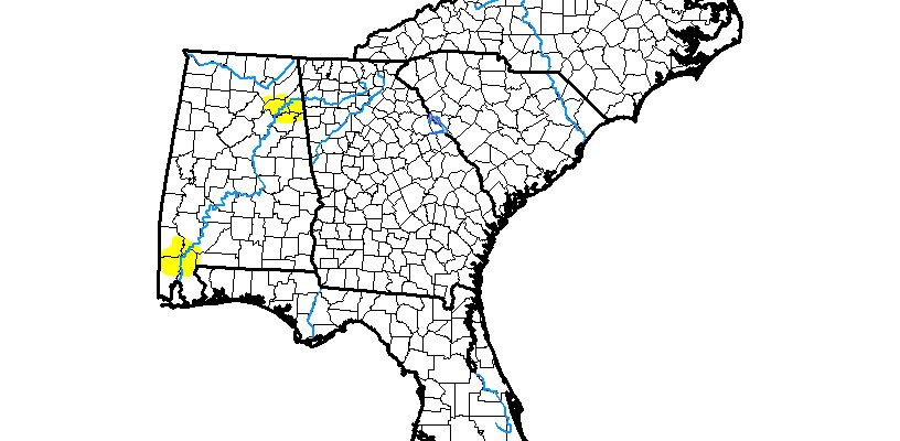
The latest Drought Monitor, released this morning, shows that the two patches of abnormally dry conditions left in Alabama have shrunk to just 1.24% of the region’s area. With wet conditions expected in the next week, the southern patch near Mobile will probably be gone by next week’s map, although the northern one may continue…
Posted in: Drought -
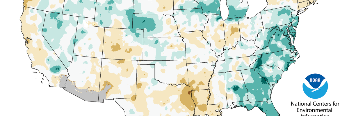
Another great analysis of the May climate in the Southeast from Deke Arndt at NCEI in their “Beyond the Data” blog. He discusses the relationship between max and min temperatures and precipitation in the Southeast and shows how they are related. It might not be in the way you think! You can read it at https://www.climate.gov/news-features/blogs/beyond-data/soggy-may-us-southeast-steers-day-and-nighttime-temperatures.
-
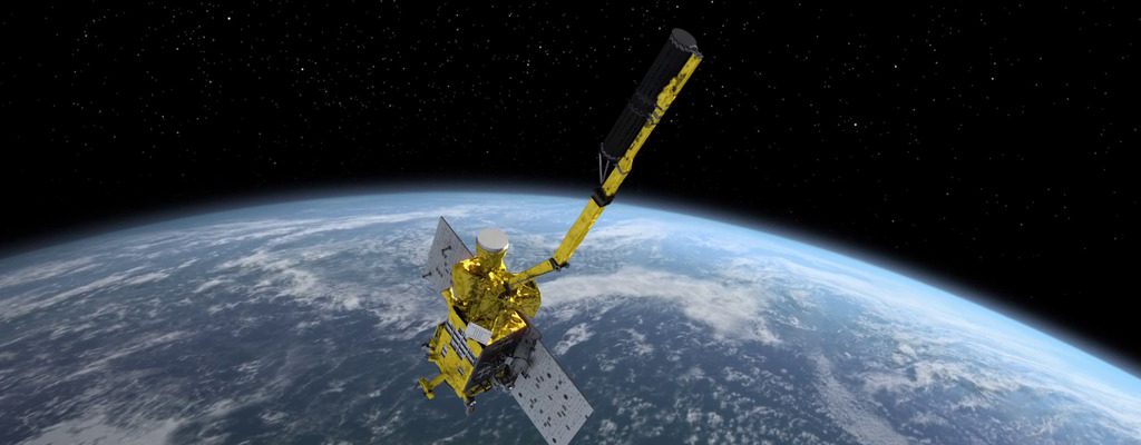
Modern Farmer posted an interesting story this week about the new NASA SMAP satellite, which collects global soil moisture data to help farmers understand the patterns of wet and dry conditions around the world that are affecting crops and water resources. The data will be made available in the USDA’s Crop Explorer Tool, which you…