-
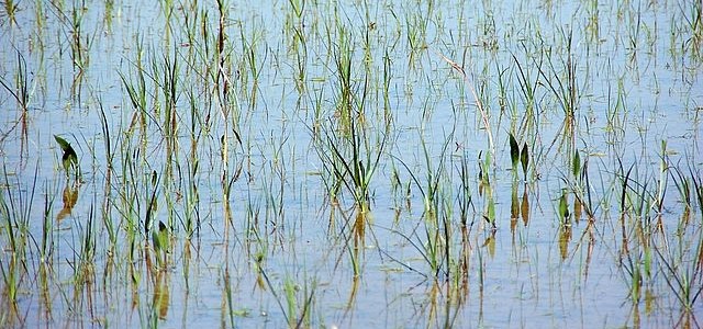
Growing rice uses a lot of water because the traditional way of doing it requires ponds of water or rice paddies to grow the crop. Now Israeli scientists have developed a new way of growing rice with drip irrigation that is estimated to save 70 percent of the water used by traditional growing methods. Besides…
-
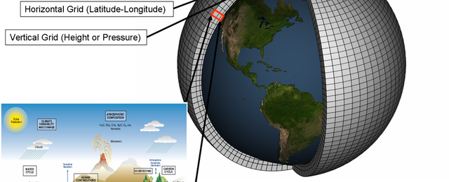
Here is an excellent description of climate models and how they work, for those of you who get asked this or just have wondered yourself. It was published in 2018 in Carbon Brief and provides a detailed look at how climate models work, how accurate they are, and what shortcomings they have. You can read…
Posted in: Climate science -

If you farm or graze low-lying pastures, you may have special management challenges that other producers do not have. I thought this story from the Farm Press about one livestock producer and how he manages his herd of cows on river bottom fields was really interesting. To get the cattle to move from lo-lying ground…
-
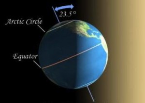
If you read this from my email link, by the time you get to it on Monday morning, astronomical winter will have begun. The official time of the winter solstice is 5:02 am EST, and tomorrow will be the shortest day of 2020. Of course, climatological winter began on December 1, so we are already…
-

If you don’t like the new NWS radar site which I discussed earlier this week, you might be interested in checking out these two alternate sites. They have the same information but in a different format that might be easier to learn. National Severe Storms Lab Operational Product Viewer NWS Experimental Enhanced Data Display
Posted in: Sources of weather and climate data -
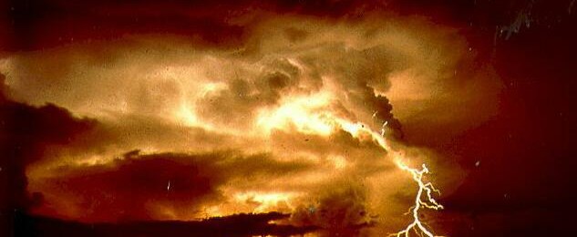
Here’s a really interesting story from Science magazine on a new way to date rocks. By looking at fossilized lightning strikes in rocks (called fulgurites) and measuring their amount of moisture, scientists can produce amazingly accurate dates of when the lightning hit. When lightning strikes the rock, it drives out all moisture, and the moisture…
-

While this blog is devoted to the climate of the Southeast, we can’t help but look at what is happening in other parts of the world. All of the world’s weather and climate is linked together by the great fluid atmosphere (and the oceans, too) where what happens in one place can affect what happens…