Tools for climate and agriculture
-
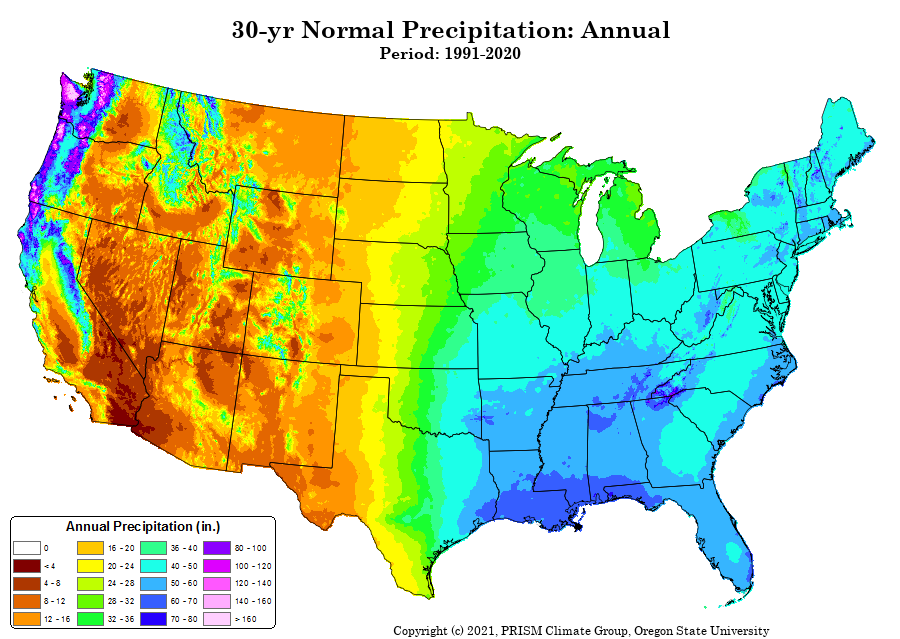
Got this update from the PRISM climate group in Oregon. Maybe it is something that you can use if you do climate studies: We are pleased to announce the release of updated PRISM 1991-2020 gridded normals datasets for the conterminous United States. Elements include precipitation; minimum, maximum, and mean temperature; mean dew point; and minimum…
-
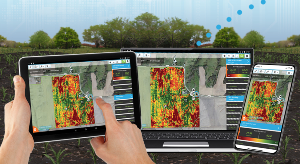
Smart farming requires the use of both weather observations and other tools for managing farm conditions. Here is a recent blog post by my UGA colleagues Simerjeet Virk and Matt Tucker describing different management software programs that can be used to manage your farms effectively. They allow the organization of different observations on soil type, crop condition,…
-
It’s the time of year when I start to get questions about the likelihood of frost in the next week. Fortunately, there is a new online experimental tool available to help producers look ahead to see the likelihood of frost for at least the next six days. It was developed by NOAA’s Weather Prediction Center…
-

The North Carolina State Climate Office has a new map product that allows you to plot maps of trends in temperature and precipitation over selected time periods across North Carolina and the Southeast. The map shows positive and negative trends for individual stations across a time period you choose and tells you if the trend…
-

The US Geological Survey has a great dashboard for looking at a variety of surface water and groundwater information as well as rainfall and some atmospheric parameters. You can view the dashboard at https://dashboard.waterdata.usgs.gov/app/nwd/?aoi=default. I think it even has a tutorial available somewhere on the website, although I have not used it. In the streamflow…
-
If you are in a coastal county and are likely to be threatened by extreme weather related to coastal storms, you might find these information sheets to be useful. They contain phone numbers, links, and other information for use in emergency situations, particularly tropical storms and hurricanes. You can find the map of available counties…
-
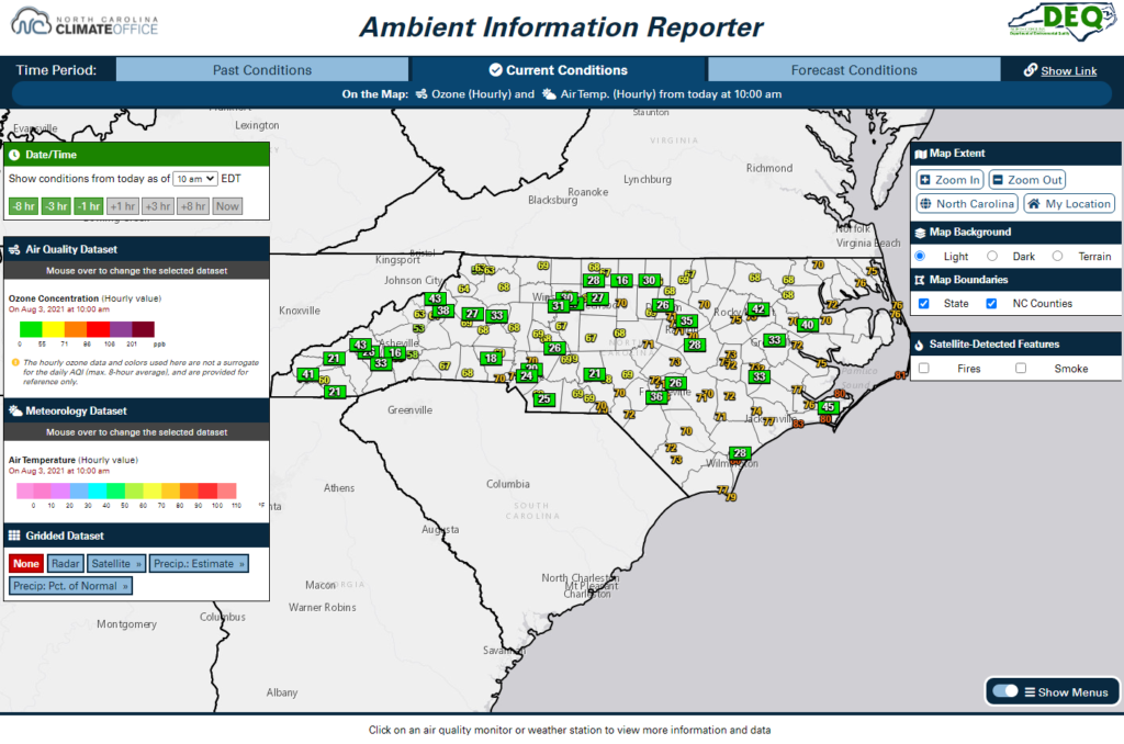
If you are interested in air quality information and weather data in North Carolina, this new website might be of use to you. The Ambient Information Reporter, or AIR, tool combines a wealth of statewide weather observations from the North Carolina ECONet and National Weather Service with air quality monitors and forecasts from the NCDAQ,…