Sources of weather and climate data
-
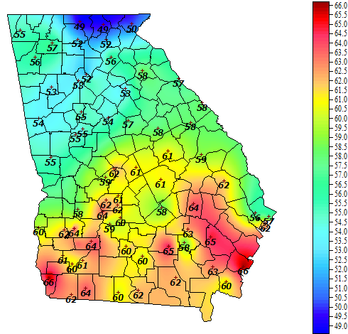
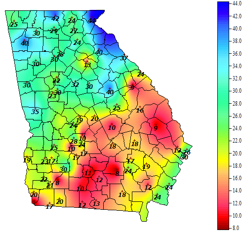
The UGA Weather Network collects weather data at 86 stations across the state. This time of year, one of our most popular products are the soil temperature maps, since farmers want to plant into soil that is warm enough to promote seed germination. Most of south Georgia has reached the mid-60’s, which should be good…
-
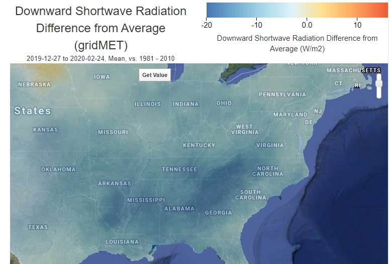
Over the past few weeks I have been introduced to several new web sites which provide graphical and/or map-based climate information that might be of use to you. I have not checked them out in detail yet, but wanted to let you know about them so that if you are interested you can see if…
-
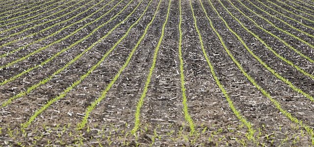
Here is some important and useful information for folks that are planning to plant corn in Georgia over the next few weeks. It’s from Rome Ethredge in his Georgia Grain News newsletter. Remember that you can get soil temperature information from the UGA weather network at https://www.georgiaweather.net/?content=tr&variable=XS . Corn Planting Folks are getting planters ready…
-
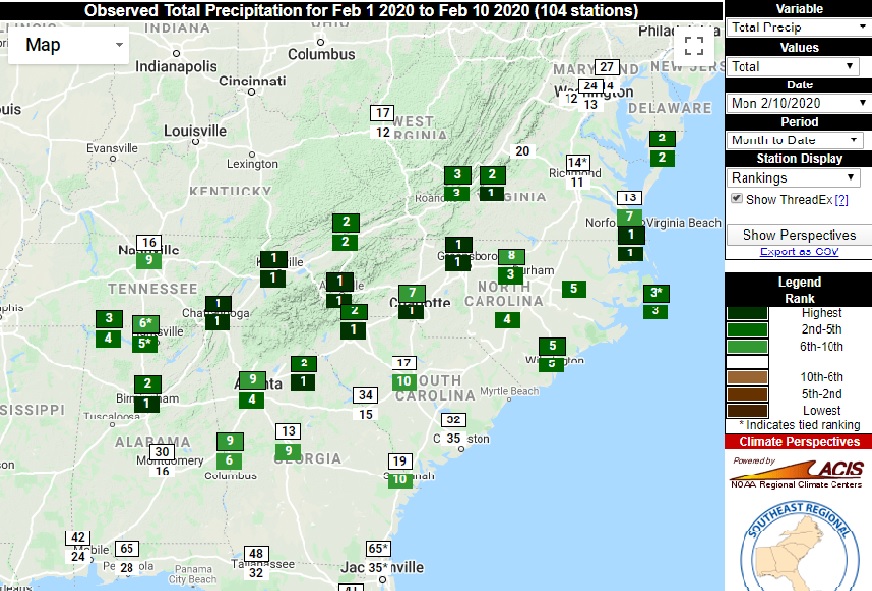
After the first nine days of the month, a number of stations in the Southeast are experiencing their wettest February on record. Of course, there is still a lot of the month to go, but the areas with the highest ranked months are also in the area that is expected to get several inches of…
-
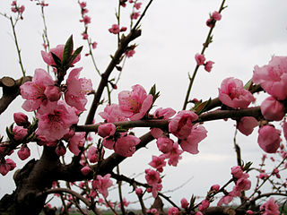
Fruit producers in Georgia may be interested in seeing our summary of chilling hours for all 87 UGA weather stations in one place. You can find the complete list which provides chill hours from November 1 through yesterday at https://www.georgiaweather.net/?content=ch. It includes the last four years so you can see how this year compares to…
-
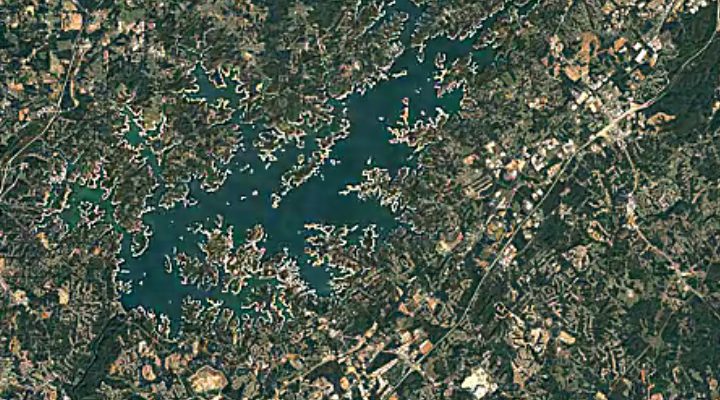
Vegetable and Specialty Crop News posted a story from UGA about the benefits of monitoring soil moisture by preventing overwatering by irrigation. Soil moisture sensors can be fairly inexpensive and can help prevent overirrigation, which can improve input costs. We also have soil moisture available at the UGA Weather Network stations around Georgia. You can…
-
There is an updated web site for the Drought Risk Atlas from the University of Nebraska-Lincoln which includes links to climate and hydrology data and a map viewer on all things related to drought. You can visit it at https://droughtatlas.unl.edu/.