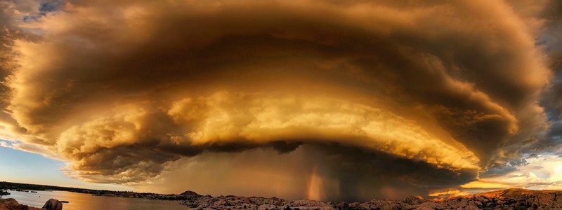
Interesting weather images
-

For the end of Lightning Awareness Week, I want to list a couple of articles that contain very useful information on where and when lightning strikes and the most likely ways that you can be affected. Did you know that 15 percent of all lightning deaths are work-related? And of those, 34 percent are to…
-

NASA has a great web site for viewing pictures of changes that have occurred over time around the globe, both from natural causes like landslides and manmade causes like increases in agriculture. You may enjoy paging through these to see how the earth’s surface has varied on a variety of time scales. The photos below,…
-

A friend of mine pointed out this interesting new web site from ESRI called Hydro Hierarchy. The web site allows you to look at the relationship between rivers and their drainage patterns across the US. A bar plot on the lower left shows the 2014 streamflow values. The radial graph on the top left shows…
-
NOAA has announced their weather photography contest winners for this year. You can view them at https://www.weather.gov/photocontest/.
Posted in: Interesting weather images -
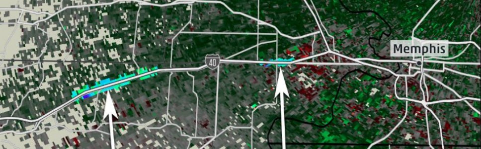
The Weather Channel has an interesting series of photos which show some of the strange things that have shown up on NWS radar since the Doppler radar went live in the mid-1990s. You can see them by clicking here. When I lived in Wisconsin, the NWS folk at NWS Sullivan told me they could see…
Posted in: Interesting weather images -

The center of TS Bill has hit the coast of Texas near Matagorda Island TX. Rain is extending far outside the immediate center of circulation and on radar you can see bands as far north as eastern OK and as far east as the bootheel of Louisiana. I love this streamline image from https://earth.nullschool.net/#current/wind/surface/level/orthographic=-97.36,28.39,1095–you can zoom…
-

NASA released a satellite time-lapse video earlier this week showing this year’s return of the monsoon rains to India. You can view it at https://www.nasa.gov/feature/goddard/nasa-sees-the-start-of-indias-monsoon-season. The official start of the monsoon season this year was June 5, a little later than usual. A strong heat wave in the days before the delayed start of the…