Pam Knox
-
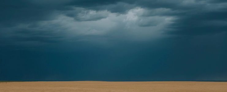
The Washington Post had a beautiful and haunting photo essay on growing wheat in Colorado earlier this week. The photos are by Elliot Ross and the story is by May-Ying Lam. Enjoy it here.
-
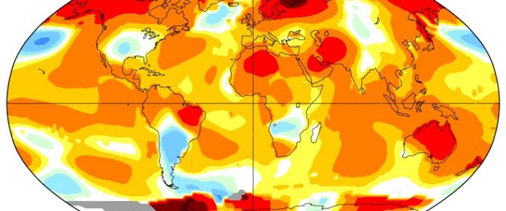
NASA released their global climate summary for May on Monday. It showed that by their calculation, May set a new record for warmth this year. NOAA will release their numbers later this week, which may be somewhat different from NASA’s due to differences in calculation due to different data sets. This record warmth makes it…
-
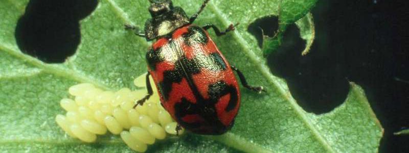
In a warmer climate with a longer growing season, climatologists have generally considered that the longer frost-free season will lead to an increase in insect pests that affect both crops and livestock. I was interested to see an article posted today in Phys.org describing the impacts that a warming climate may have on insect pests,…
-

Crystal Powers of the University of Nebraska, and one of my teammates on the Animal Ag and Climate Change project, pointed out a neat web site which allows you to look at projected changes in a variety of climate and agricultural values. Even though they list it as for the Pacific Northwest, it actually allows…
-

A new website which collects information on wildfire in the Southeast is now available at https://southernwildfire.net/. This website collects information on wildfire research geared towards Southeastern wildfires as well as shares success stories on dealing with forest fires. It includes information on SouthWRAP, the Southern Wildfire Risk Assessment online mapping tool, an evaluation tool for assessing your…
-
Today’s WunderBlog lists two new resources for understanding changes in climate over time. The first is a new website called “Climate Signals” which explores connections between extreme events and climate change. The second is a new book which goes into detail about climate models and how they are used to study changes in climate over…
-
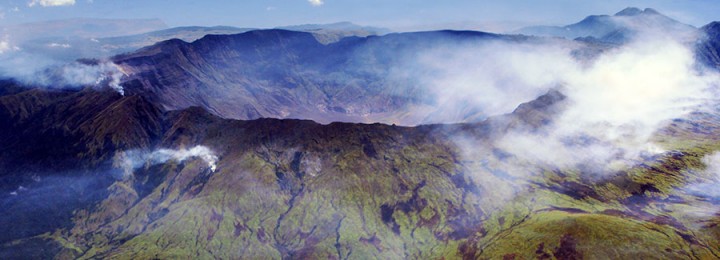
The Capital Weather Gang has posted a great story about the eruption of Mount Tambora in Indonesia in 1816, 200 years ago this summer. The sulfuric acid emissions from this eruption helped contribute to some of the coldest temperatures we have seen in the Northern Hemisphere in modern times, due to the reflection of sunlight…