-

While Hurricane Erin is not directly affecting the Southeast, the East Coast is being hit by high waves and heavy surf generated by Erin’s winds. This is leading to dangerous rip currents along the coast that have led to many rescues along Carolina beaches already, far ahead of the storm’s strongest effects. NOAA has a…
Posted in: Uncategorized -
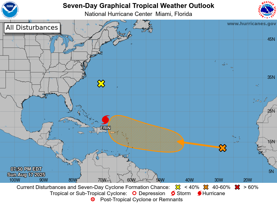
It’s that time of year. The tropics are becoming more active and every wave coming off of Africa has to be watched for signs of development. Today we are watching Major Hurricane Erin as it moves NW on a path that is expected to curve north and then NE off the East Coast between Bermuda…
Posted in: Tropical weather -
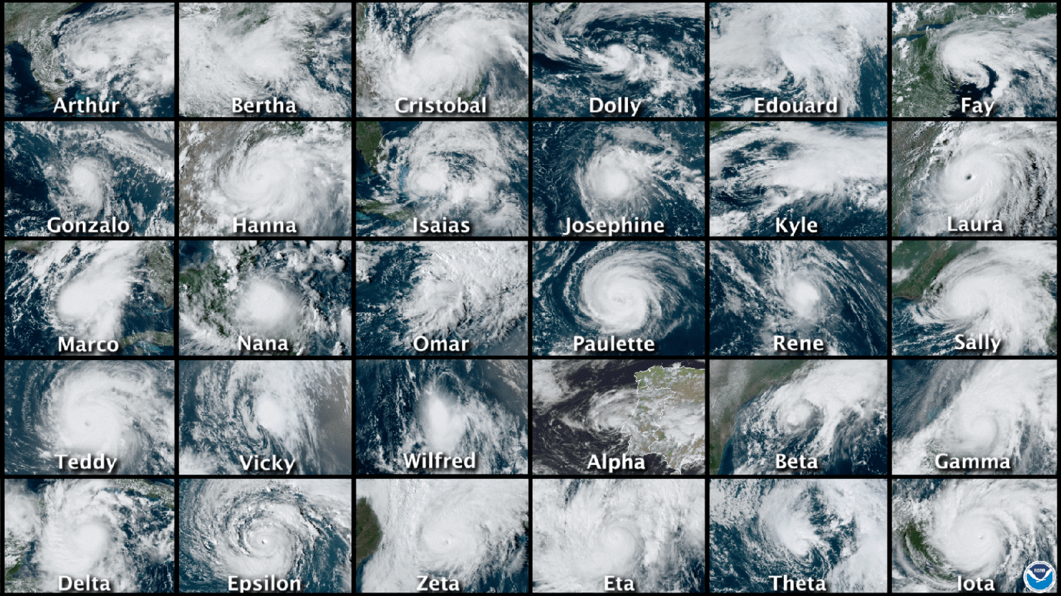
The Weather Channel posted an interesting short video about the life cycle of a hurricane to explain how hurricanes develop from tropical waves and grow into full-fledged strong storms. Very timely considering how we have watched Erin grow from a weak wave to a category 5 storm in just a few days. Erin is now…
-

The rainfall on this week’s 7-day QPF map is dominated by rainfall from Hurricane Erin as it moves north past the East Coast. It won’t be close enough to cause much rain on the mainland, but if you are at the beach you will see very high surf and a chance of rip currents, so…
Posted in: Climate outlooks -
Here is a recent story from Citrus Industry that discusses the impacts that high temperature and humidity can have on farmer workers. This year has been particularly humid because of all the rain we have been having across the Southeast, so workers have really been affected by it. If you work outside, make sure you…
-
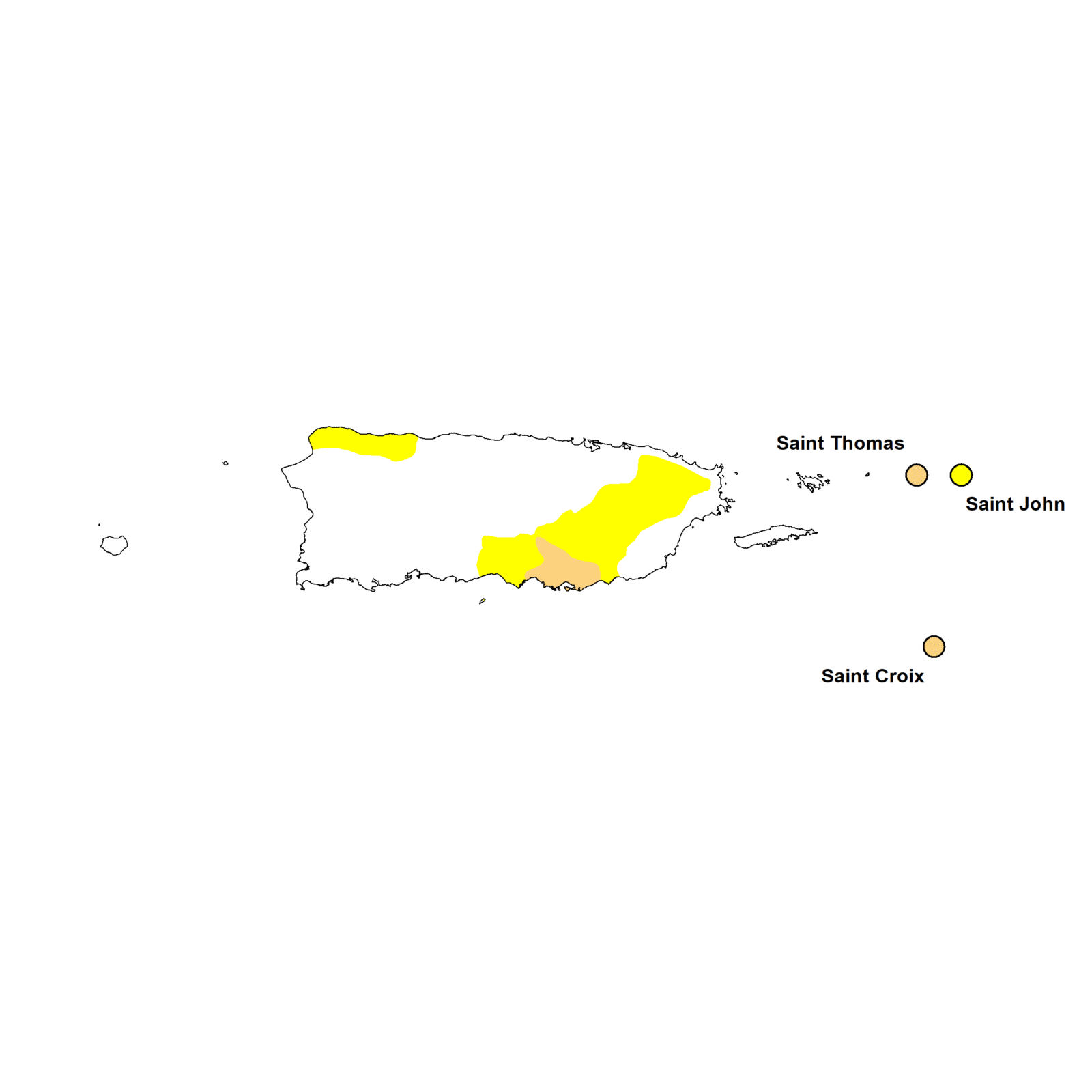
The latest Drought Monitor, released last Thursday, shows an area of moderate (D1) drought appearing in southern Puerto Rico. However, the rain this weekend with Hurricane Erin brought a lot of water to the territory, and I would not be surprised to see the drought disappear in next week’s map. In the mainland Southeast, most…
Posted in: Drought -

After Invest 97 formed over the weekend, it developed into Tropical Storm Erin on Monday, August 14, in the eastern Atlantic Ocean. It is currently moving over a relatively cool ocean and is interacting with some Saharan dust but it is expected to move over more favorable conditions in the next few days and is…
Posted in: Tropical weather