-
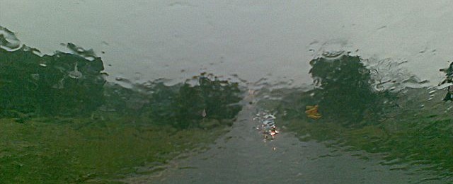
The latest 7-day QPF map shows that there will be rain over this weekend lingering into mid-week in Alabama, Georgia, and along the Appalachians, but the Florida peninsula and the coastal plains of Georgia and South Carolina will be mostly missed, adding to their abnormally dry conditions. By the end of the week, dry conditions…
Posted in: Climate outlooks -
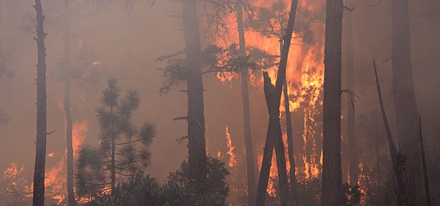
Scientists who study western wildfires have discovered that multi-year droughts and wet periods can have bad impacts on the forests’ ability to renew themselves after a fire. Drought years were particularly hard on the forests’ ability to grow new seedlings. You can read more at Physics Today here.
-

I decorated my Christmas tree a couple of weeks ago. On it I put several snowflakes, because after all I am a meteorologist. One of the snowflakes came from a small mill turned into a shop in Jericho, VT, the home of “Snowflake” Bentley, one of the most prolific photographers of snowflakes in the world.…
-
The latest Drought Monitor, released today, shows that there has been a slight increase in abnormally dry (D0) conditions in the Southeast. The biggest increase was in Alabama, where several pockets of D0 have appeared. Other states had lower increases. There will be some rain this coming week, but not a lot, so things may…
-
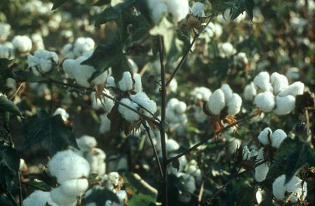
Here is an interesting article which looks at the price of cotton during La Niña years. Since we are currently in a moderate to strong La Niña now, this is very relevant to what cotton producers should be considering going into the next growing season. The author traces the changes in cotton futures over time…
-

The latest monthly climate summary for the US was published by NOAA today for November 2020. It shows that for the year to date, parts of every state in the Southeast are having their warmest year on record. Other parts of the region have experienced their wettest year on record through the end of November.…
-
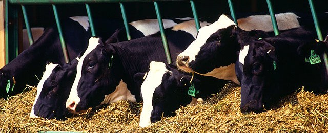
Dairy cattle put off a lot of heat as they digest their food and produce milk, and in warm conditions, that can put them under stress. A new study in California that was published recently in Inside Climate News showed that a combination of fans and sprinkling that were run by decision-making tools to calculate…