Sources of weather and climate data
-
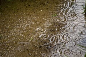
As the Miami Marlins learned yesterday, weather apps should be used carefully when planning short-term work that may be impacted by current weather. The Marlins play in a stadium with a retractable roof which is supposed to prevent rain delays. However, to do that it has to be closed. Yesterday, they started the game with…
-
I’ve seen a couple of interesting stories on groundwater today that I thought I would pass along. One is on the continuing crisis in the groundwater levels in California due to a combination of drought and extensive pumping, mostly by agricultural producers. You can read that story from the New York Times here. The story…
-
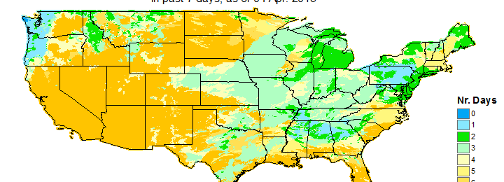
Here are a couple of sites that you might find useful in looking at current conditions across the United States. The two maps below show the departure from average greenness across the United States from the US Forest Service. You can find these maps at https://www.wfas.net/index.php/avhrr-ndvi-moisture–drought-47. They show satellite-derived vegetation status across the country. These particular…
-

Where were you on April 3-4, 1974? I was living in Grand Rapids, MI at the time. We heard the stories there of the terrible tornado outbreak that affected a wide area of the eastern US, including areas of the Southeast. My church sent workers to help in the cleanup of the devastation at Xenia,…
-
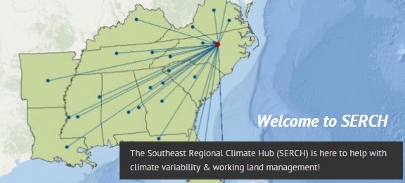
The USDA’s Southeast Regional Climate Hub (SERCH) has a new web site that you might find interesting. This climate hub will be helping to gather information on climate and management of working lands like agriculture and forestry. They will also link to other groups that provide tools and data on dealing with climate variability and…
-

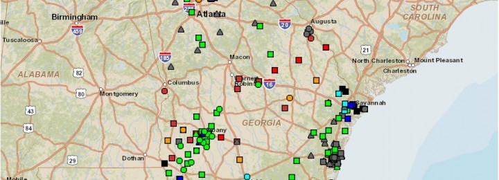
The Southeast Regional Climate Center provided a map of the ranking of monthly precipitation anomalies for selected stations in the Southeast using their Perspectives tool this week. The map is shown below. It shows that at numerous stations around the Southeast, the monthly total precipitation in March 2015 was ranked in the top ten driest,…
-

The Climate Prediction Applications Science Workshop presentations from last week’s meeting in New Mexico are now available as PDF files online. You can see the agenda and link to the presentations at https://aces.nmsu.edu/cpasw/presentations.html. If there is not a PDF available it is because the author did not want it published. Lots of good information there on…