Sources of weather and climate data
-
Most years I try to attend the annual meeting of the American Association of State Climatologists (AASC). I am a past president and enjoy the chance to catch up with old friends and learn some new things about applied climate. Here are some sources of data and some new web sites I discovered at the…
-
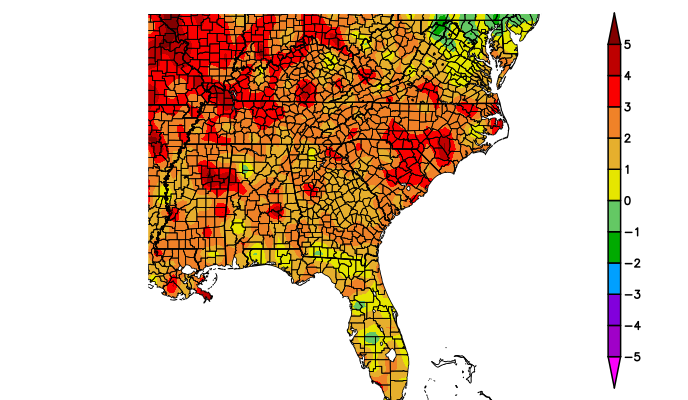
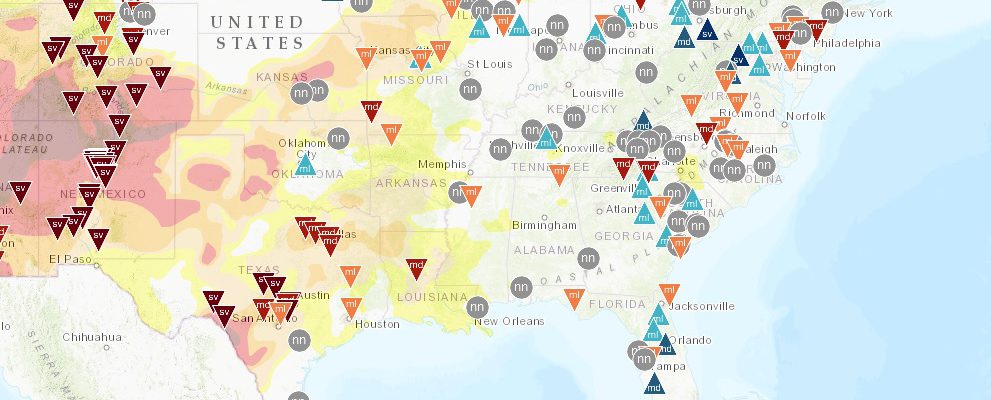
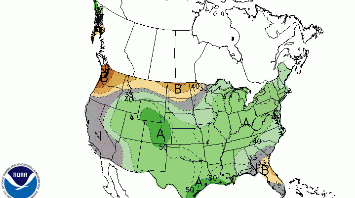
The preliminary High Plains Regional Climate Center maps for the Southeast in June 2018 show that almost everywhere was above normal in temperature, but rainfall was quite variable across the region. More areas were below normal than above normal, but there was a lot of scatter due to the convective nature of summer rainfall. The…
-
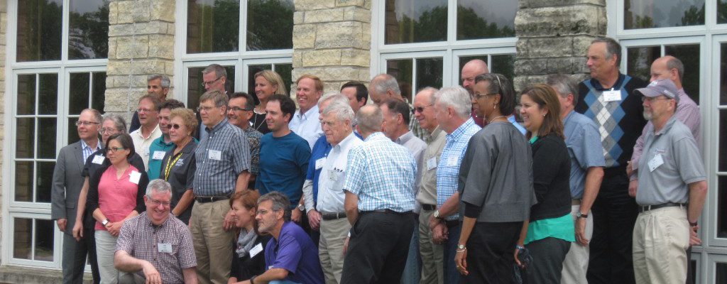
This week I’ve been attending a meeting of the American Association of State Climatologists, a group that I have been affiliated with since 1990. They are more than just colleagues, they are friends and sometimes even family. SC’s are among the most helpful people I have ever met, and if you don’t know who your…
Posted in: Sources of weather and climate data -
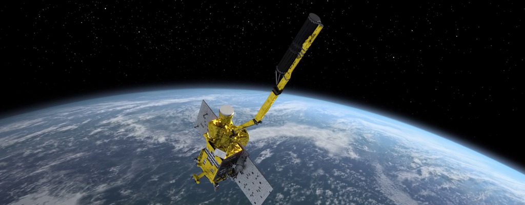
Modern Farmer posted an interesting story this week about the new NASA SMAP satellite, which collects global soil moisture data to help farmers understand the patterns of wet and dry conditions around the world that are affecting crops and water resources. The data will be made available in the USDA’s Crop Explorer Tool, which you…
-
If you read this article from the USDA’s Northeast Climate Hub, the answer is a resounding yes. Long-range weather forecasts include the time period from about six to 14 days out, past the most reliable first few days of the weather forecasts, but not yet in the realm of chaos and inaccuracy. The article talks…
-
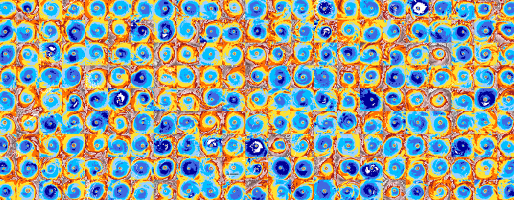
NOAA released a new climatology of hurricanes today, just in time for the start of the Atlantic hurricane season on June 1. This climatology looked at satellite images of hurricanes and tropical storms and used optical recognition to categorize the storms by the presence and size of eyes. They compared this information to known data…
-
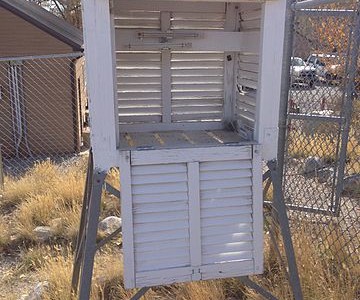
The latest issue of NOAA’s “Beyond the Data” blog has an interesting story about the history of the cooperative observer network, the backbone of long-term climate observations across the US. Did you ever wonder how the US has a climate record going back at least 125 years? How do we know what happened before that?…