Pam Knox
-
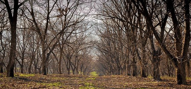
AgFax printed a story from UGA scientist Lenny Wells on the impacts of microclimate on pecan production. You can read the article here. The impacts of the site on which the trees are planted is important in how likely the trees are to be affected by scab, which can seriously impair the trees’ ability to…
-

For the first time in 38 years, there will be a full moon on Christmas. Even though a full moon occurs every 29.53 days, it has been a long time since the full moon and the date of December 25 lined up. You can read more about it at IFLT Science and at EarthSky using…
-

AL.com posted a story yesterday with the title above looking ahead to the future as El Niño reaches its peak intensity and starts to decline. What happens after a strong El Niño starts to fade? Keep in mind that it will take months for the mass of unusually warm water in the Eastern Pacific Ocean…
-
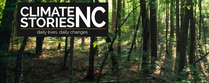
Climate Stories NC is a web site which collects videotaped stories of how changes in climate are affecting the citizens of North Carolina, including fishermen, beekeepers, wildlife managers, and others. You can visit and watch these short videos at https://climatestoriesnc.org/.
-
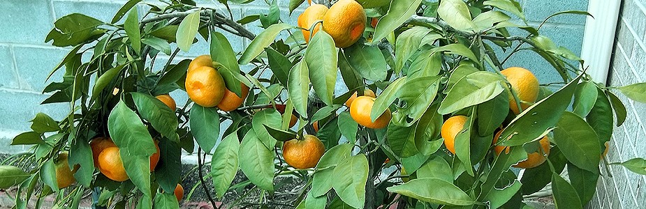
I’ve worked with farmers in southern Georgia who are expanding into new crops that can be sold in markets as “local” produce if they are grown in-state. These crops include olives and satsumas, both which have been grown in different climate regions in the past but now are starting to be produced in Georgia. The…
-

Heavy rains in the Pacific Northwest this month have caused big problems for dairy farmers due to flooding rains, washed-out roads and loss of power. The map below shows that some areas have received over 20 inches in the last two weeks. AgWeb posted an article about the problems along with a gallery of photos…
-
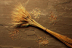
AgWeb published an article earlier this week discussing the reduction in wheat production this year compared to last year in the South, particularly in the article’s focus area of Louisiana. They say “Too much rain, low prices and a disease called headscab have created a perfect storm driving farmers who often plant wheat not to…