Pam Knox
-
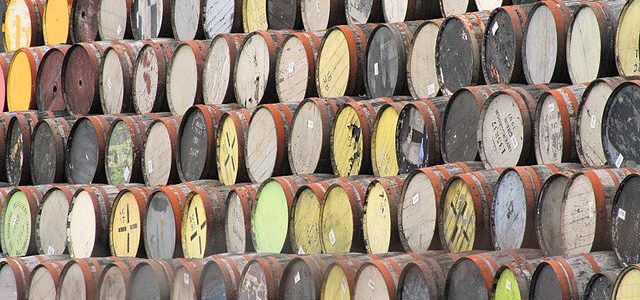
BNN.ca had an interesting story earlier this week about increases in bourbon production in Kentucky and the negative impacts on the population of white oak trees. By law, bourbon is produced by aging for at least two years in new charred white oak barrels, and the demand for bourbon is so strong that foresters are…
-

According to Jonathan Belles of WunderBlog, there have been no hurricanes in the Gulf of Mexico since September 2013. By the end of this week, this will be the longest streak with no Gulf hurricanes on record, dating back to the 1800s. The last hurricane in the Gulf of Mexico was Hurricane Ingrid, which made…
-
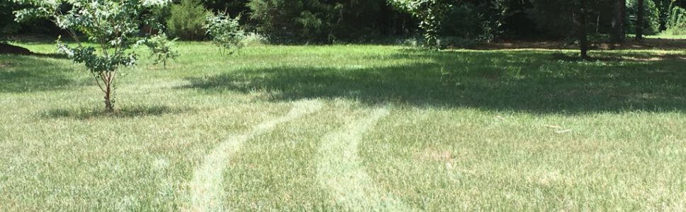
The University of Georgia’s Center for Urban Agriculture has published a helpful article on managing turfgrass in times of drought. You can read it at https://ugaurbanag.com/__trashed-2/. The article discusses how to recognize the signs of drought stress and things you can do to maintain the appearance of the grass while minimizing growth until more favorable conditions…
-
Now that we are firmly stuck in the “hot and humid” mid-summer conditions of the Southeast, you might be interested in these fun facts on heat and humidity published by the Capital Weather Gang this week. You can find them by clicking here.
-

I ran across a detailed journal article about the effects of climate variations on a whole list of specialty crops, some of which are grown in the Southeast and others of which are from other climate regions such as the tropics. In this Elementa Science review article, the authors looked at published studies on impacts…
-

I ran across this YouTube video discussing how you can protect your farm from wildfire from the EDEN folks at https://www.youtube.com/watch?v=Lh9-s7Xsgos&feature=youtu.be. While wildfires are more prevalent in the western US, fires can and do affect farms in the Southeast as well. This video discusses steps you can take to identify risks and plan for fires as…
-

Modern Farmer published a short story on a new website devoted to farmers who have hay to sell or buy. It is located at https://www.hayfinders.com/ and allows farmers to sell or buy hay by location. There are currently no listings in the Southeast, but if you have some hay to sell, you can take a look and…