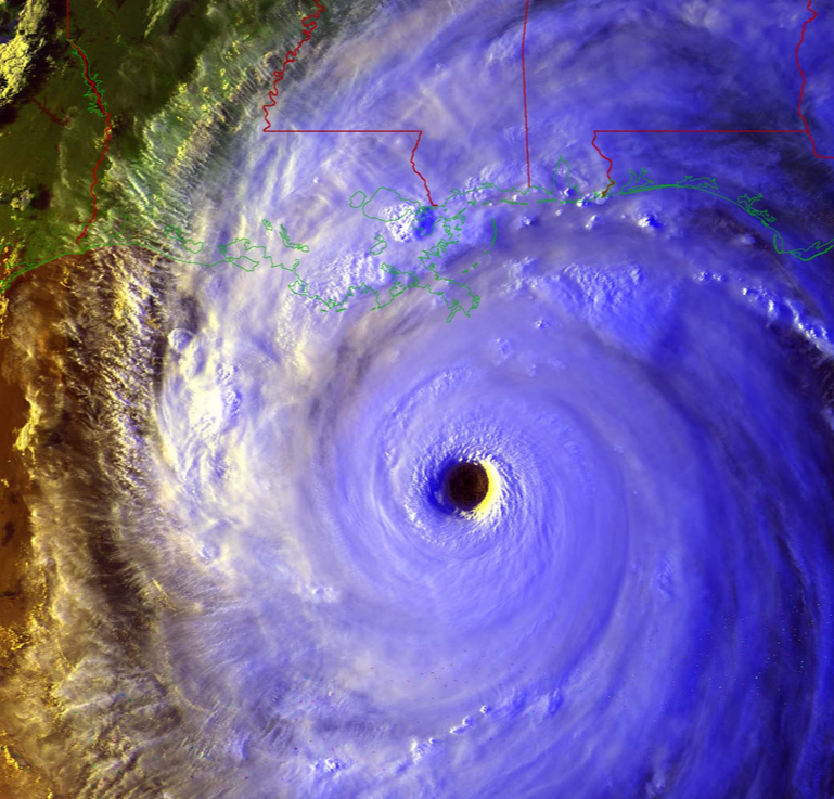
Eleven years ago, Hurricane Katrina made landfall on the Gulf Coast. One of the hardest hit areas was the Mississippi Coast, where Stennis Air Force Base is located. Many NOAA personnel were located there and suffered severe personal losses from the direct hit. Last year they put together a story site which contains information about the storm and tells some of their esperiences. Be sure to check them out at https://service.ncddc.noaa.gov/cdn/storymap/katrina/.
NOAA also produced a description of some of the tools they use to watch hurricanes develop, including satellites. This article lists some of the new technology that is going into the next generation of satellites: https://www.nesdis.noaa.gov/news_archives/11_years_after_kartrina.html.
You can read more about NOAA’s latest satellite, due to be launched soon, at the Capital Weather Gang here.