Tools for climate and agriculture
-
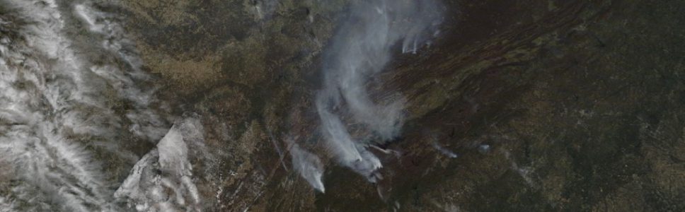
Morning Ag Clips posted a story last week on a new web site developed by the Georgia Forestry Commission to track the location of current wildfires across the state. The site details where each fire is occurring, how big it is, and what the status of the fire is. You can find the link to…
-

Here is a useful site for farmers concerned with the impacts of harmful weather on their crops. USDA has a page which collects information on programs to help farmers recover from drought, hurricanes and other severe weather at https://www.farmers.gov/. If you are a farmer or work with them, this might have some links worth checking…
-

It’s getting to be that time of year again. We are approaching the average date of first frost for the Athens and Atlanta areas. Parts of northern GA have already experienced a bit of frost earlier this fall, and colder weather may bring freezing air into more of the state within the next week or…
-
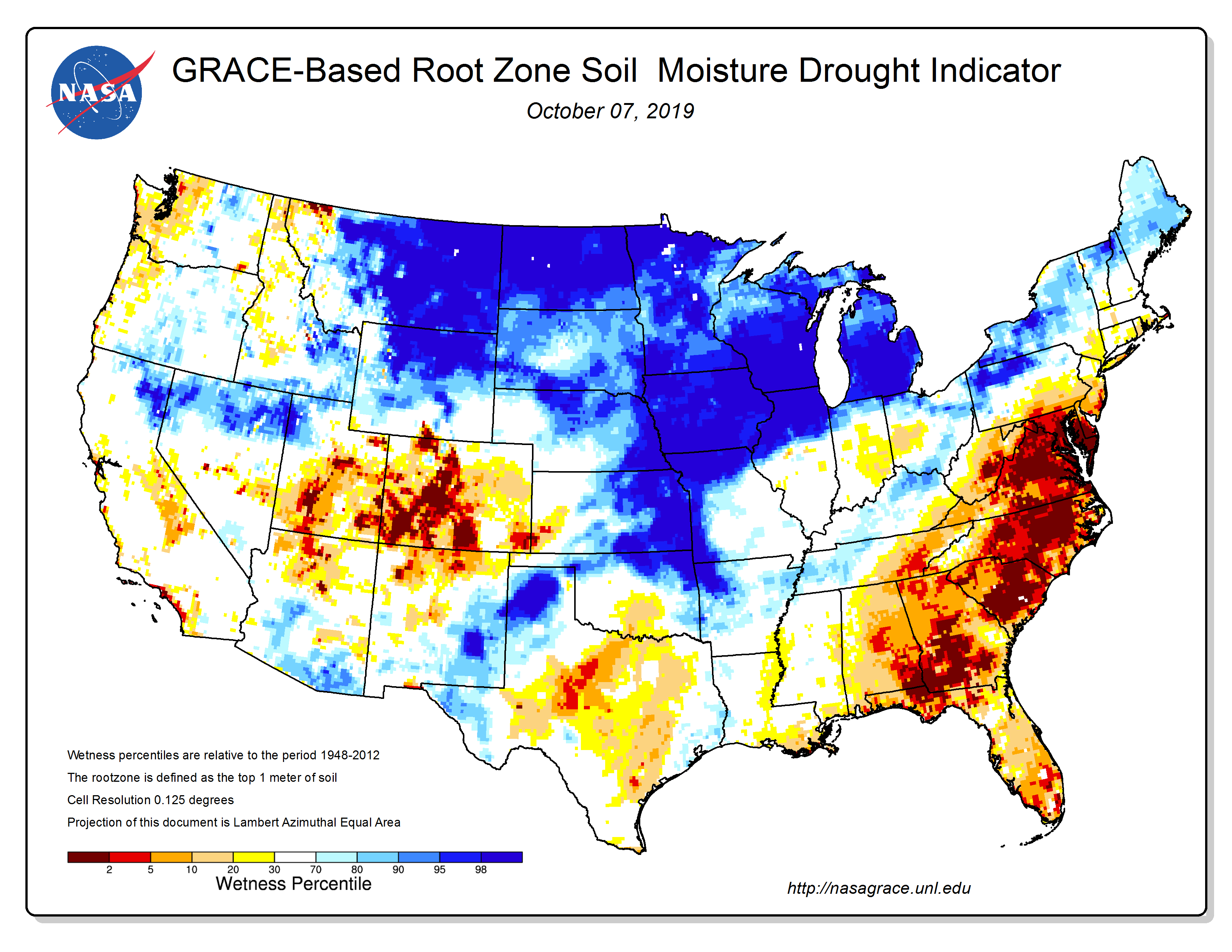
The use of satellites to monitor climate conditions provides some really good fine-scale detail about how conditions like soil moisture are changing over time. The NASA GRACE tool provides a look at soil moisture depletion in several different zones, including the root zone. This map from last week shows how dry the root zone is…
-
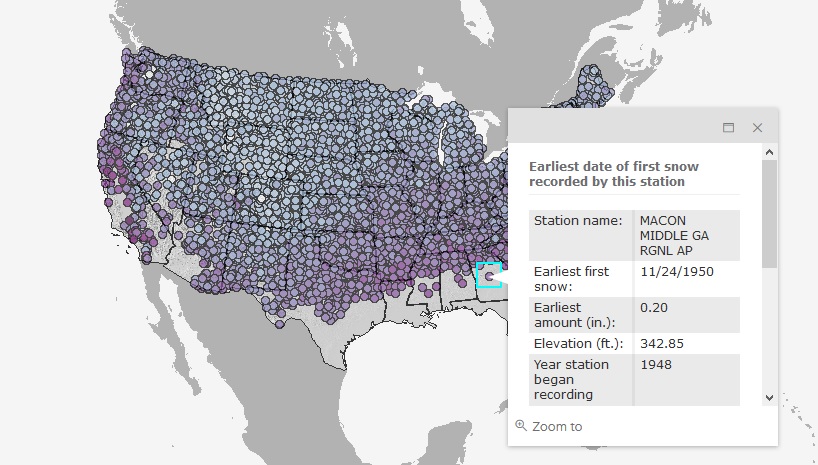
If you are tired of hot weather and want to think cool thoughts, you can enjoy this map which shows the date of the first snowfall of the season for each station that collects snowfall information. Read more about it and try it out here.
-

The National Drought Mitigation Center has published a new listing of fact sheets that describe a variety of USDA’s drought recovery resources. You can read about it at https://drought.unl.edu/Publications/News.aspx?id=353 or go directly to the brochure at https://drought.unl.edu/archive/documents/NDMC/Flyers/USDA-USDM-2pager.pdf.
-
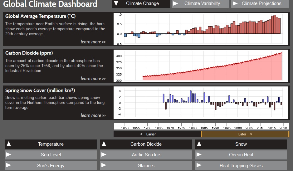
The Global Climate Dashboard is a NOAA tool which allows you to look at trends in climate over time for a variety of variables like sea level, carbon dioxide content in the atmosphere, and incoming sunlight. You can read more about it here. Or you can access it directly along with other maps and tools…