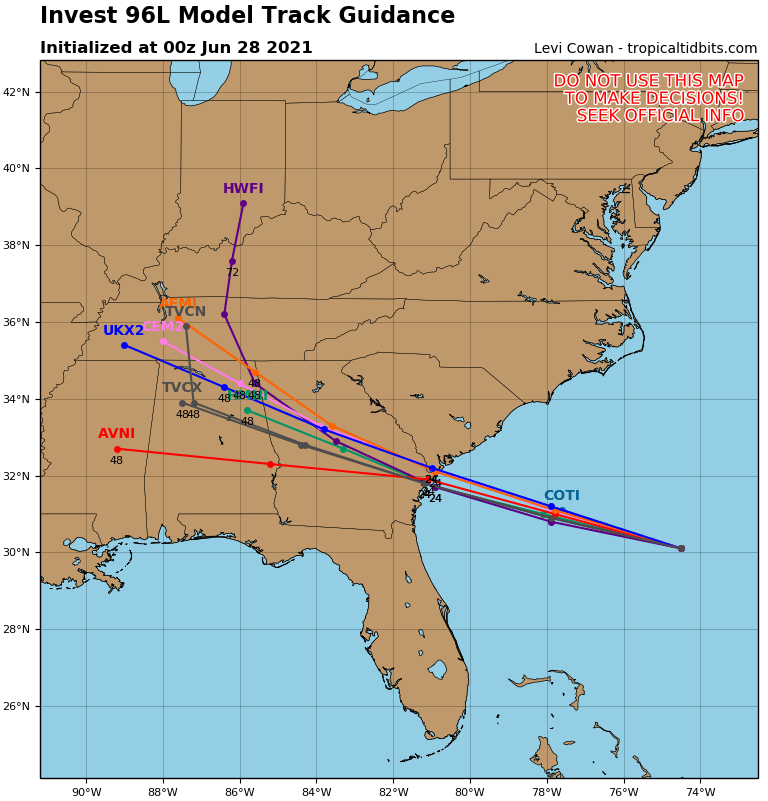
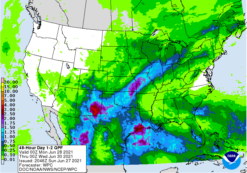
Over the last day, an area of disturbed weather has developed in the Atlantic Ocean near Bermuda and is moving westward towards the US East Coast. It is still pretty weak but has a 50 percent chance of developing over the next five days. Realistically, if it is going to develop, it has about one day before the center makes landfall somewhere in the vicinity of Savannah on Monday evening. There is a small chance it could get organized enough over the warm Gulf Stream to get named. The next name on this year’s list is Danny, but it seems fairly unlikely it will get itself together enough to get a name. Since the storm, if you can call it that, will be so weak, the major impacts are going to be some rough surf and potential rip currents along the shore, some gusty winds, especially along the coast, and some locally heavy rain. Total rainfall amounts for most areas will be less than an inch except near the coast.