Today is the last day of meteorological winter, and in spite of being in a La Nina this year, it has not felt nearly as warm and dry as we usually expect from a LN winter due to the impacts of the Sudden Stratospheric Warming (SSW) which pushed the storm track south into our region, bringing clouds, rain, and cooler temperatures than expected. Don’t blame the climatologists, since forecasts are done on a statistical basis and in the majority of years an LN winter should look a lot more typical than it did this year. We are trying to improve these forecasts over time, but SSW events are generally not predictable and can only be reacted to once they start. And even then, the impacts of each SSW are not the same so we can’t say with certainty how any of these events will affect us once they start.
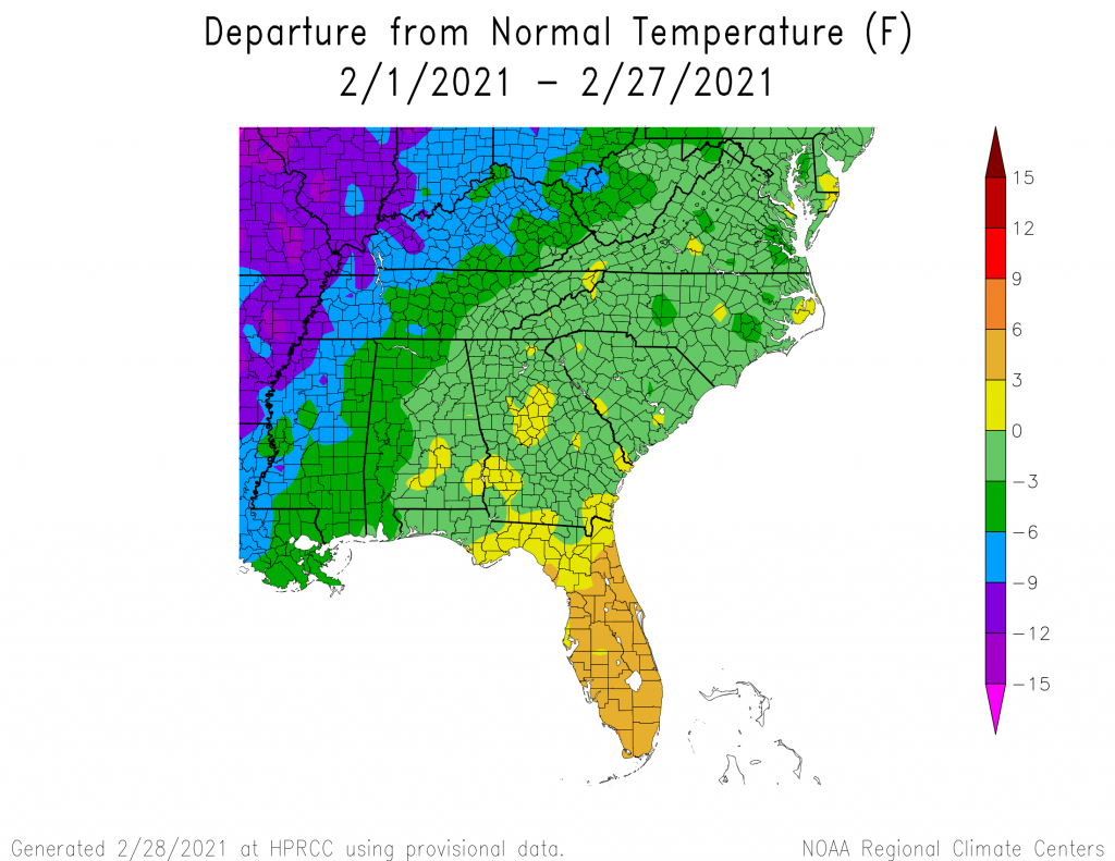
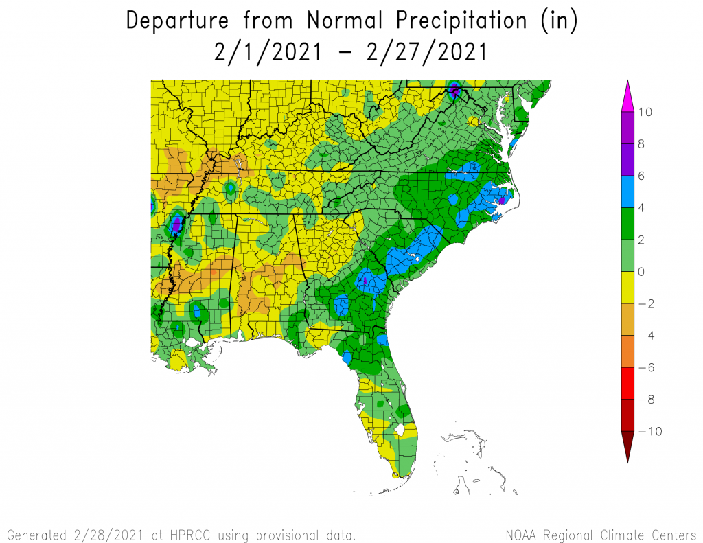
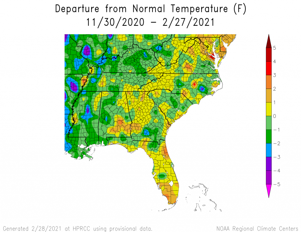
Here are the preliminary maps for February 2021 and December 2020 through February 2021 temperature and precipitation departures. Note that areas that were not right along the storm track were generally warmer and drier than usual, but within the storm track, cloudy temperatures kept daytime temperatures cooler than normal, although nights were warmer than usual almost everywhere. The excessive rainfall has been a problem for farmers trying to get into their fields, but the next few weeks look drier and warmer, which will improve things, I hope.
All these maps are from https://hprcc.unl.edu/maps.php?map=ACISClimateMaps.