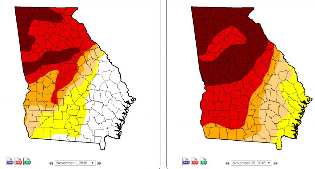
I am attending the National Drought Monitor Forum this week in Kentucky, and have been learning a lot of interesting things about the Drought Monitor and some of the changes that they are making to the web site and the maps. One new thing they have added is a state-by-state lists of different impacts expected by drought level D0 to D4. You can find these lists on the bottom of the page for each state. For Georgia, you can use this link, or substitute your favorite two-letter state identifier to look at any other state: https://droughtmonitor.unl.edu/CurrentMap/StateDroughtMonitor.aspx?GA.