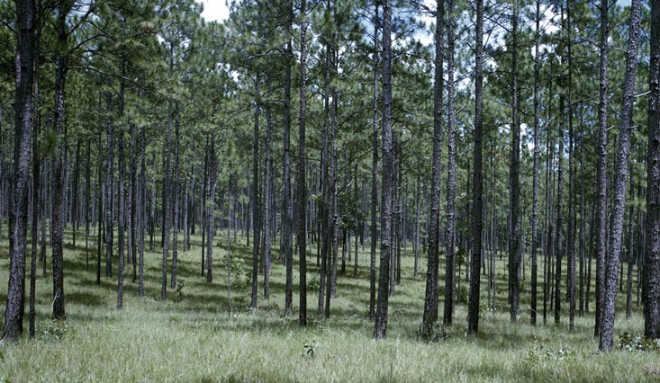
A new fire-mapping online tool is now available for the Southeast. It enables resource managers to improve their regional or local approaches to managing wildfire risk and fire management needs through targeted prescribed burns and training. Fire management helps improve forest ecosystem health, increases timber values, reduces the risk of wildfire damage to life and property, reduces ticks and other pests, protects drinking water, and renews healthy ecosystems supporting wildlife habitat, especially in fire-dependent longleaf pine forests. The tool is a joint product of the US Department of Agriculture and other partners. You can read more about it at https://www.morningagclips.com/usda-partners-unveil-new-fire-mapping-tool/ or go right to the tool at https://landscapepartnership.org/key-issues/wildland-fire/fire-mapping/regional-fire-mapping/se-firemap.