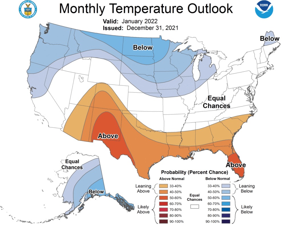
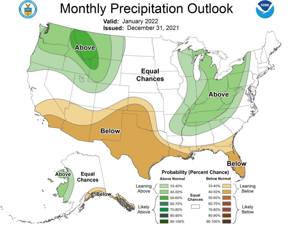
While the beginning of January 2022 was much warmer than average (Athens was 27 degrees above normal this weekend!), once the cold front passes we should see a period of much cooler air. It’s not going to be frigid, but a few degrees below normal, so it will feel a lot more like a Southern winter. The pattern looks like it could last through mid-January. After that, the Climate Prediction Center is predicting a return to warmer conditions, so there is not a strong signal for the month as a whole. The updated monthly outlooks came out late last week and show a slight tendency towards warmer than normal temperatures in most of the Southeast, with the highest likelihood in southern Florida. The precipitation pattern is consistent with a weak to moderate La Nina, with drier than normal conditions in the south and wetter than normal conditions closer to the mountains and Tennessee River Valleys. At this point in time, there is no sign of a sudden stratospheric warming (SSW) similar to what we had last year that caused the cold outbreak in the central US, so this year may be a more typical La Nina winter.

