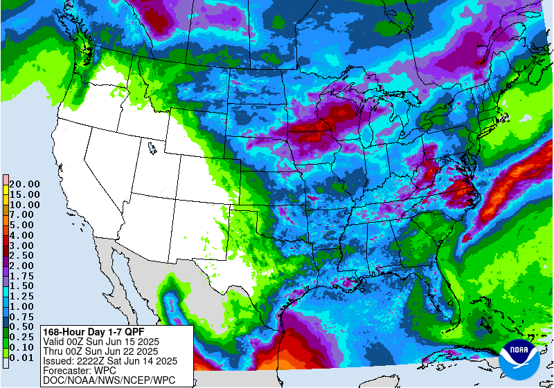
We’ve been in a rainy pattern for the last couple of weeks, as discussed in a different post today. Since the rain has been very convective in nature with a lot of heavy downpours and thunderstorms and some strong winds in places, the rainfall has been very hit or miss. Some places have received a lot of rain while others not that far away have received much less. We will continue to see rain showers across the region for the next few days with more hit-or-miss conditions likely. By midweek, the rain chances go down although some more scattered showers are still possible. The driest parts of the region are southern Georgia, most of South Carolina, and the east coast of Florida while the wettest conditions will be in eastern North Carolina and Virginia.
The tropics are very quiet right now. There is nothing expected this week and only about a 20% chance of a tropical storm developing in the southern Gulf. That chance goes back to near zero for the last week of June, so that will not be a factor for now.
Starting towards the end of the week and into week 2 we are expected to see much higher temperatures associated with a ridge of high pressure that will suppress rainfall across the region, although some showers could still occur. This will put a lot of evaporative stress on our growing crops and farmers will have to consider their irrigation plans carefully if they irrigate. It will also put heat stress on folks who are working outside (including many of you and your employees) and on livestock. Be aware of the symptoms of heat illness and make sure to prepare for really hot and humid weather by increasing hydration and cooling breaks.