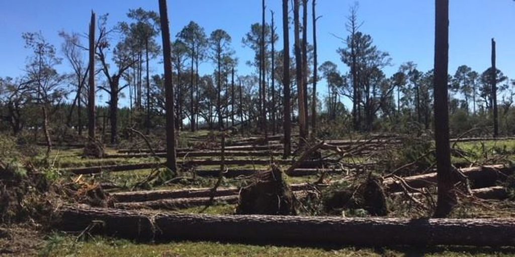
We know from experience in the Southeast that hurricanes and tropical storms can leave a terrible mess in both croplands and forests when they pass through. One of the biggest issues with assessing the damage to forests is that it is difficult to get an accurate assessment of how much timber was destroyed by the storms. This information is necessary for insurance claims, providing relief to landowners, and planning for climate change. Now, a new AI-based method for determining this information is being developed by a professor at UF/IFAS using satellites and LIDAR to compare before and after images from the area affected by the storm. You can read more a bout the process from Southeast Farm Press at AI assess forest damage after hurricanes (farmprogress.com)
