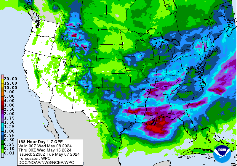
With the forecast track of TS Laura moving steadily to the west, that puts most of the likely impacts of the storm well to the west of our region. But we can still expect some rain from the storm, mostly in the form of scattered lines of thunderstorms which could have locally gusty winds and some heavy downpours that could cause some local flash flooding. But most areas of the region won’t receive anything close to the seven to ten inches expected in western LA and eastern TX where they will get a double-barreled event with Hurricane Marco (probably will be a TS by the time it makes landfall) hitting early in the week and TS Laura (which will probably be a hurricane when it makes landfall) hitting two days later.
Parts of the Southeast could see some rain from the storm later in the week as the remains of Laura recurve to the northeast and clips the corners of northern AL and GA as well as up the spine of the Appalachians. The driest parts of the Southeast will be along the East Coast, farthest from the track of Laura. The southwest corner of AL and far western FL could also see some gusty tropical winds as Marco and Laura get closest to them on Monday during the day and Wednesday morning, respectively, but they are not likely to be strong or last long in either case.
