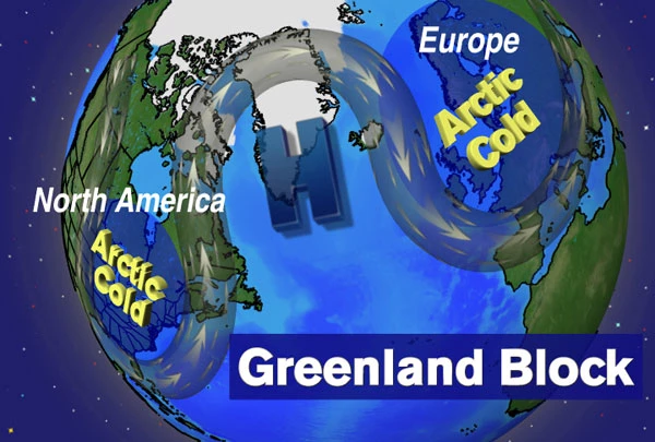
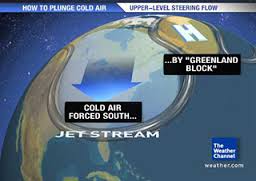
The Capital Weather Gang posted a new blog article this week describing the impacts of a warmer Arctic, as sea ice continues to disappear. One of the likely consequences of less sea ice is the development of a Greenland block, which is an atmospheric pattern that locks the circulation in place (similar to the Omega block which is affecting us here in the Southeast this week as well as causing the exceptionally warm temperatures in Alberta which are helping to fuel the recent forest fire).
The Greenland block causes the jet stream to dive south over the eastern United States, achieving a configuration that delivers cold air and establishes a path for storms to draw moisture from the Atlantic. While it won’t be a constant feature of the atmospheric circulation, it may occur more often with an ice-free ocean, leading to more frequent snowstorms fed by water vapor streaming into the East Coast around the blocking high pressure. While it may not bring more snow to the Southeast, it could bring more ice storms and cold temperatures in the winters when the block occurs most frequently.
You can read the blog post here. A similar story was carried in the Summit County Citizens Voice here.