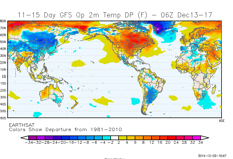
December 1 marks the beginning of meteorological winter. After one of the coldest Novembers in recent memory, the beginning of December should bring quite a change to the Southeast. The weather patterns are starting to show signs of the expected El Nino signal, and most of the US should see temperatures above normal for the next 2-3 weeks. A large storm system associated with a “Pineapple Express” event should bring copious moisture to California, giving them some relief from the long-lived drought they have experienced over the last few years. You can read about this on the Updraft blog from Minnesota Public Radio. The Los Angeles Times also has an article about the storm hitting California here.
Meanwhile, the climate predictions for the next several weeks show temperatures above normal for most of the continental US. Tom Skilling, the WGN meteorologist from Chicago, has a great blog entry explaining the “stunning pattern shift” and what is in store for us here.