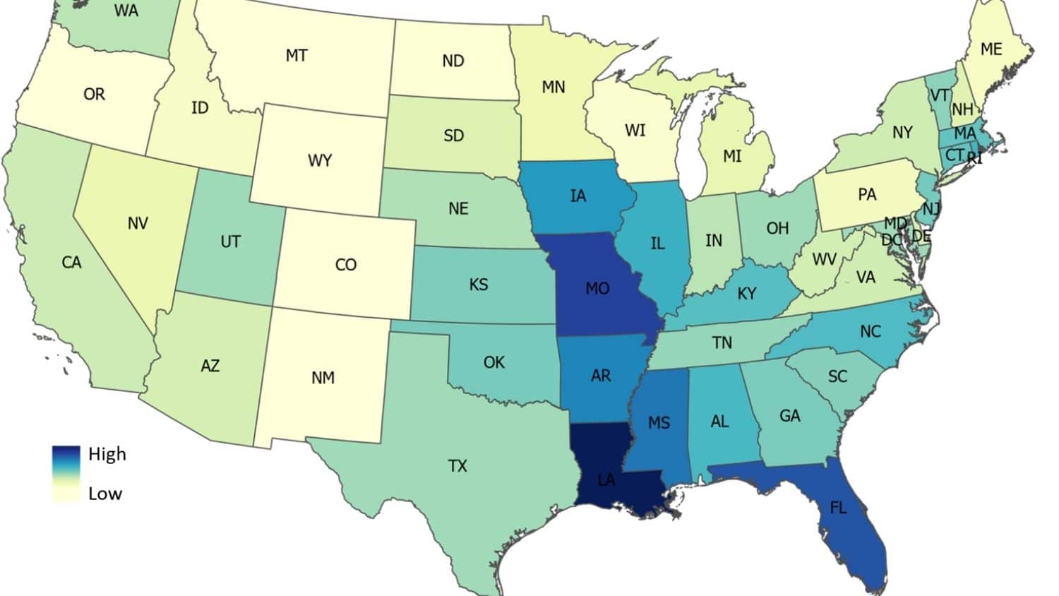
A recent study by scientists at North Carolina State University showed that recent flood maps produced by the Federal Emergency Management Agency (FEMA) do not do a good job of capturing flood risk based on their study of flood damage across the United States. The study showed that many areas with extensive flood damage occurred outside of the 100-year flood plain, where insurance, zoning restrictions, and building codes are not in force. By using machine learning, as the scientists did, updated maps can be produced much more rapidly than in the past. That will make them more responsive to any changes in storm frequency that may occur due to the warming climate. In the Southeast, Florida is the state with the highest likelihood of flood damage. You can read about the study at https://news.ncsu.edu/2022/02/study-u-s-flood-damage-risk-is-underestimated/.