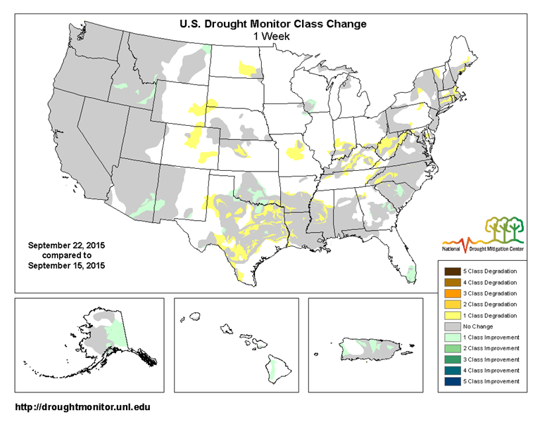
The Drought Monitor map released yesterday showed some slight improvement in drought across the Southeast due to recent rains, although there was expansion of drought in Texas and other central parts of the US. Considering how much rain we received yesterday from the low slowly crossing the Southeast, we can expect more relief on next week’s map.
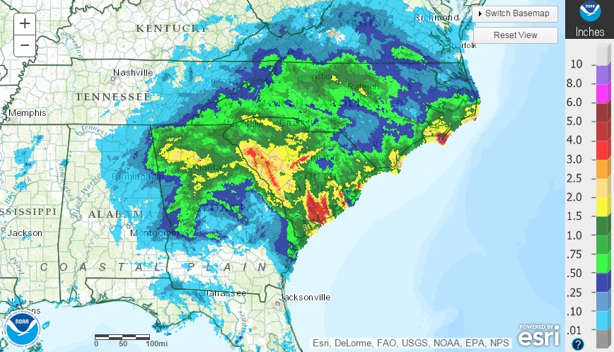
Some areas of South Carolina received more than 5 inches according to this morning’s radar map (shown below), and it is still raining in NW Georgia and NE Alabama. I received 1.63 inches on the east side of Athens in my CoCoRaHS gauge this morning. More should be coming later this week, especially if the expected Gulf low materializes and drifts over the area.