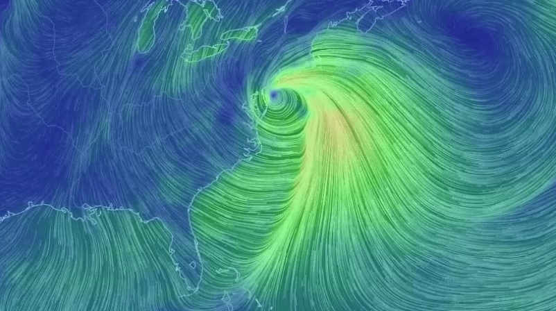
The nor’easter which developed along the east coast today has really cranked up. Athensgaweather.com showed this great image of the circulation around the low pressure, which at the time I wrote this was just off the coast of Long Island. The image is from earth.nullschool.net, one of my favorite sites. Make sure to go there to see the moving flow.
If you look at the full earth image at the earth.nullschool site, you can see the wind in the Southeast blowing from northeastern Canada and flowing all the way down to us bringing the frigid and dry air that will be contributing to tonight’s freeze. It’s also creating lake effect snow in Cleveland and even Chicago! You can even see some of the flow crossing Mexico and moving into the Pacific. This is called the Tehuano or Tehuantepecer wind. You can read about them at https://thevane.gawker.com/your-friday-knowledge-boost-mexicos-powerful-tehuantep-1658880728.