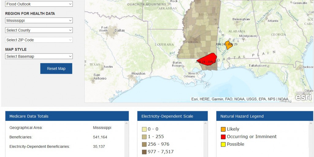
NOAA’s Climate Toolkit has a unique new tool that allows emergency managers and public health departments identify people who are vulnerable to loss of electrical power. It links a database of Medicare beneficiaries who use electric adaptive devices to current weather hazards to identify how many people in an affected area would be affected by a prolonged loss of power, such as that caused by a hurricane or severe weather outbreak. You can read more about it at https://toolkit.climate.gov/tool/empower-map and link to their map. There were not a lot of hazards to try out this morning, but the flood potential in Mississippi brought up this information posted below. You can drill down to the local level to get information for individual counties.