Update: Dr. Shepherd provided an update on this story on Saturday. You can read it here. In it he shows that the snow was not true lake-effect snow but part of a larger area of convergence.
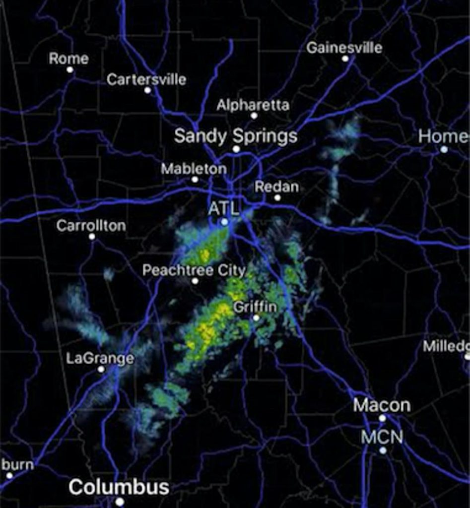
I grew up in western Michigan, where lake effect snow was a frequent occurrence during the winter months. Usually it takes a big lake with a long distance over which the wind can blow to create the lake effect snowstorms I grew up with. But on Friday parts of Atlanta experienced what appears to be lake effect snow coming off of Lake Lanier. Dr. Marshall Shepherd of the UGA geography department first pointed it out in his blog on Forbes.com, but we didn’t find confirmation that there really was snow until I saw a video posted on Facebook showing light snow exactly where the models say the lake effect snow should have occurred (with winds from the northeast). So in just the right conditions, you can get lake effect snow even off a smaller lake like Lanier. You can read more about this unusual occurrence here.
MARSHALL SHEPHERD VIA RADARSCOPE APP