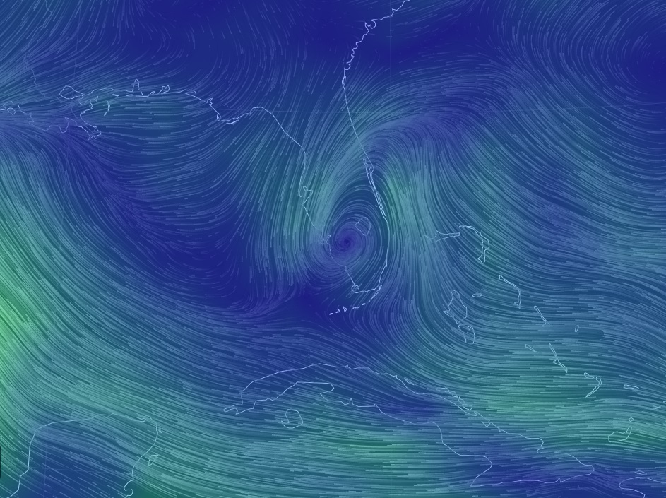
Investigation 92 from the National Hurricane Center is now moving westward across the Florida Peninsula. The graphic below shows the nice flow around the center of the disturbance. You can see the original with moving wind in real time by clicking here. Note that this will show a current view so if you look at it later you might not see the picture below.
The latest suite of models shows that the most likely projected path is now for the disturbance to continue moving westward and to stay fairly weak, so there may be little impact in the Southeast. But the models are still evolving, so pay attention to weather forecasts and the National Hurricane Center for continuing information.
