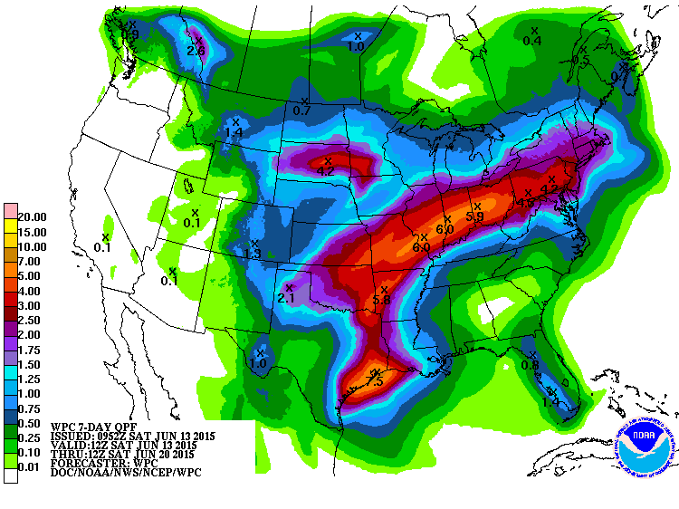
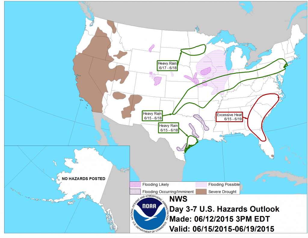
A dome of high pressure is moving into the Southeast this weekend and should stay parked over the area for much of the week. The high pressure will suppress most thunderstorm activity and shunt rain off to the west of our region. Above normal temperatures and high humidities will make it feel occasionally like it is above 100 F in our area. The heat and sunlight should be great for hay-making but will cause stress on corn and other crops.
Meanwhile, out west heavy rain is expected to fall on areas that already are saturated from storms in the last month. In Kansas, the rain is expected to hurt wheat harvesting, which is normally underway this time of year, since it will be difficult to get machinery out into the fields.