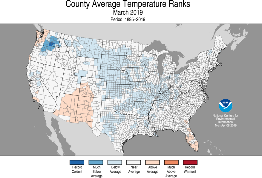
From time to time I get requests for data at the county level. Here is a NOAA source that allows you to get data compiled by county rather than by individual station.
Here is a short description of how the county-level data are created: “County data, available since November 2018, provide a more localized picture of weather and climate conditions. The county-level data are generated from a dataset known as nClimGrid, which is based on the GHCN dataset and is the foundational dataset for studying the climate across larger geographic areas. Previously, the smallest aggregated scale of nClimGrid consisted of nClimDiv, which is the climate division dataset, consisting of 344 specified divisions across the contiguous United States. ”
You can read more and access the data at https://www.ncei.noaa.gov/news/noaa-offers-climate-data-counties.