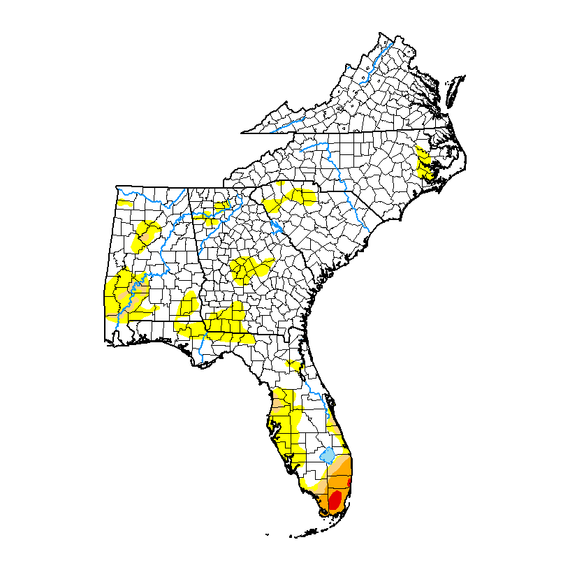
The latest Drought Monitor, released earlier this week, shows that the recent significant rains that fell across a lot of the region cause a reduction in dry conditions in Georgia and South Carolina and parts of Alabama. The rain was due to overrunning of moist air over a wedge of cold, dense air moving SW down the eastern side of the Appalachian Mountains. In Athens, where I live, many people reported more than ten inches of rain in just three days. That is 1/5 of the average annual rainfall here in just a short time. And it was not linked to tropical weather, which is the most frequent cause of heavy rain in summer here in the Southeast. The temperature in the area of the wedge dropped precipitously and in those areas, high temperatures in the 60s were common. This is more like November weather than early August weather. But now we are moving back to a more typical summertime pattern with warmer temperatures and scattered showers and thunderstorms, so you can expect more “hit or miss” rain conditions to occur of the rest of August.
Even with the heavy rain in some places, dry conditions expanded in South Florida and reappeared in parts of Alabama and eastern North Carolina. In Puerto Rico there was a very slight decrease in abnormally dry conditions from last week.