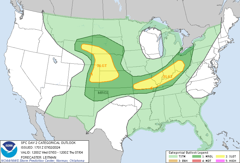
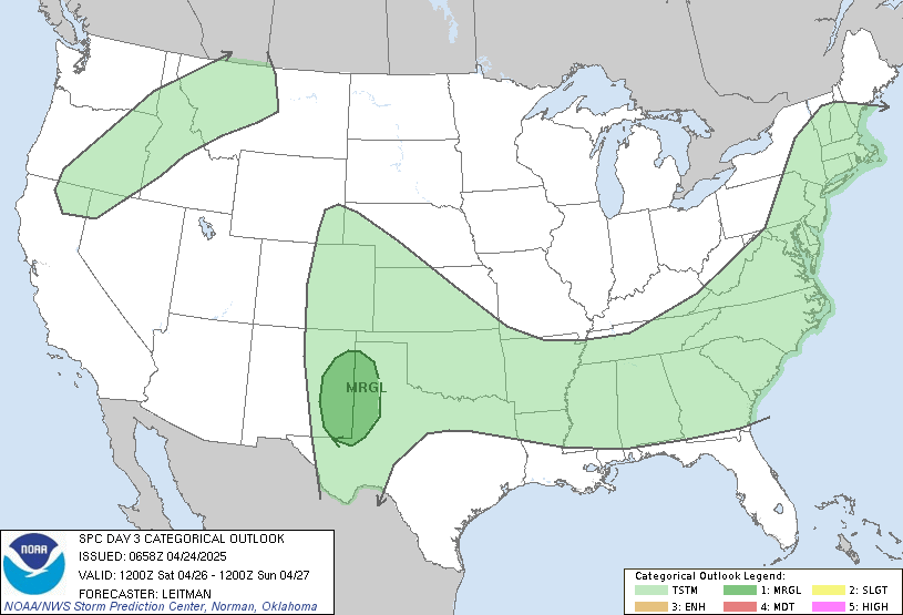
As TS Laura continues its path through the US and turns towards the east over the next couple of days, the Southeast will continue to be in the right front quadrant of the storm. That means that there will be ample fuel for rain showers and some potential isolated severe weather as Laura moves through the eastern US for the next few days. The maps of the regions that are most likely to see severe weather on Friday and Saturday are shown below. Please continue to be weather aware, even though Laura is much weaker than it was when it came onshore. And today there are two new areas to watch in the Atlantic. Are you ready?

