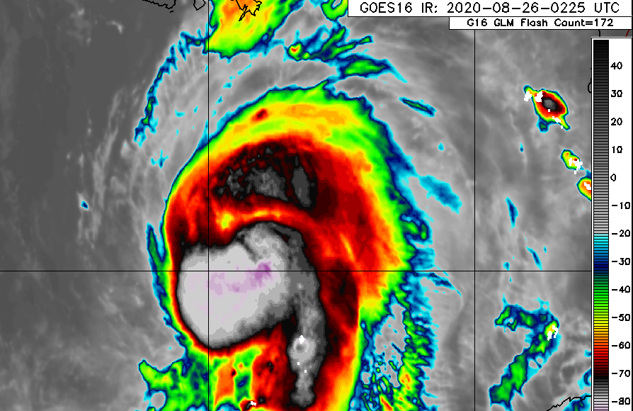
Late Wednesday evening or early Thursday morning Hurricane Laura is expected to make landfall as a major hurricane somewhere near the Texas-Louisiana border. The models still show some variation in path, and it could got a little farther west to Galveston-Houston, so the barrier islands there are being evacuated as a precaution along with many areas along the main region. Storm surges of up to 13 feet in some places will devastate the flat low-lying areas along the coast along with strong winds of 120 mph and gusts to 140 mph.
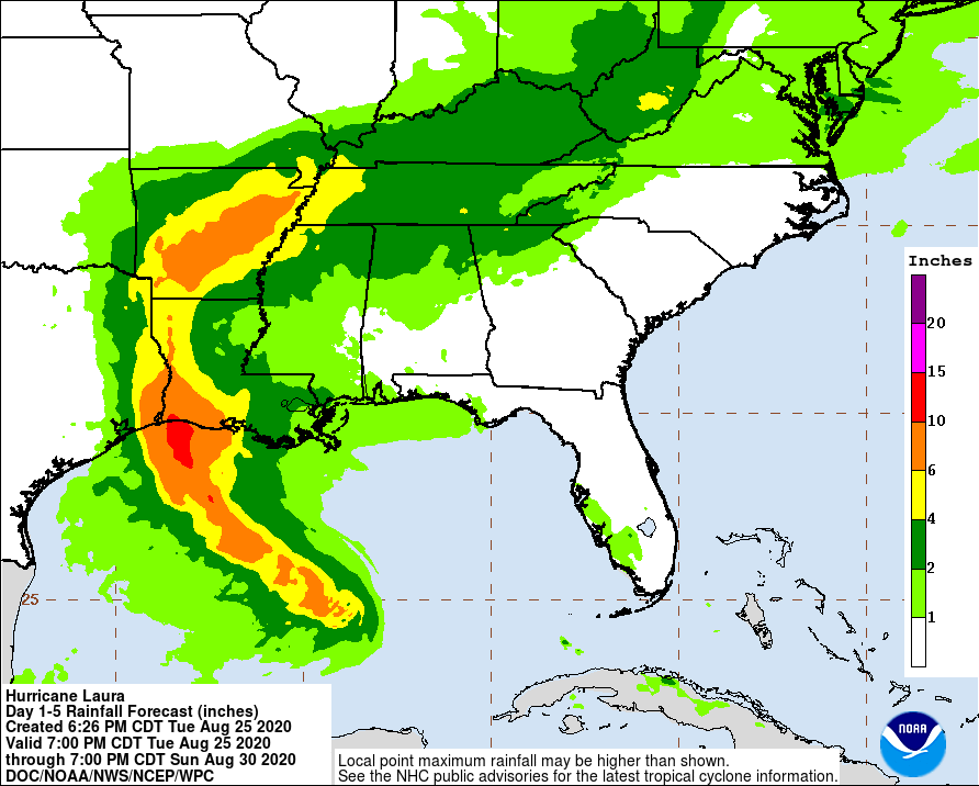
Since the storm is moving relatively quickly, rainfall should only be 5-10 inches, compared to the record-setting rainfall of over 50 inches from Hurricane Harvey a few years ago. The first few outer rain bands hit the coast on Tuesday night and should be increasing throughout the day on Wednesday. There is no clear eye evident yet in the satellite images but by the time you read this in the morning it may already be evident.
The major impact of Laura on the Southeast will be some heavy rain after it makes landfall and turns east across the Tennessee Valley. Higher elevations could see some flash flooding in the more intense cells. This will be mainly Friday into Saturday, although rain bands could continue to move through Alabama and Georgia for the next few days outside of the main storm, and the western Carolinas and Virginia could also see a couple of inches.

