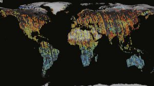
According to New Atlas, the Chinese satellite TanSat has provided the first global maps of carbon dioxide. In the article, it shows maps from two months, April and July 2017. This satellite view will allow scientists to study changes in carbon dioxide across the earth depending on the season as well as highlight local maximums and minimums. You can see both images and read more about it at https://newatlas.com/tansat-co2-map/54278/.
